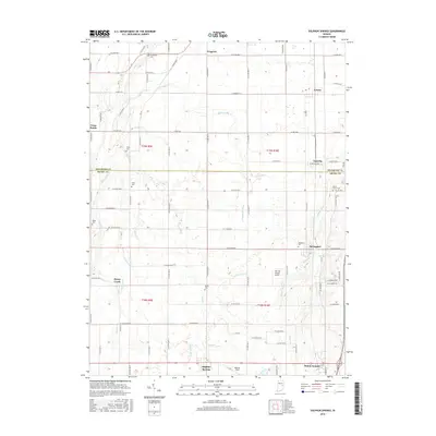
2016 Map of Sulphur Springs
USGS Topo · Published 2016About this map
Sulphur Springs and Mount Summit anchor the southern portion of this Henry County landscape, where a dense network of country roads connects historic agricultural settlements. The terrain is defined by a complex system of drainage and small waterways, including Williams Cr, Fall Cr, and the Sulphur Drain. These watercourses reflect the engineering history of the region, visible through named features like Peckinpaugh Ditch and Abshire Ditch.
Find a feature on this map
65 named features on this map. Tap any name to fly to it.
Don’t see what you’re looking for? This feature index may not catch every label — zoom into the map to look around manually.
Map Details
Editions of this 2016 Sulphur Springs Map
This is the sole edition of this map. No revisions or reprints were ever made.
Other maps of this area

1949 · New Castle West
USGS Topo · 1:24,000

1950 · New Castle East
USGS Topo · 1:24,000

1952 · Muncie East
USGS Topo · 1:24,000

1952 · Muncie West
USGS Topo · 1:24,000

1953 · Cincinnati
USGS Topo · 1:250,000

1953 · Muncie
USGS Topo · 1:250,000

1956 · Muncie
USGS Topo · 1:250,000

1957 · Cincinnati
USGS Topo · 1:250,000

1960 · Gilman
USGS Topo · 1:24,000

1960 · New Castle West
USGS Topo · 1:24,000