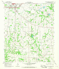
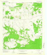
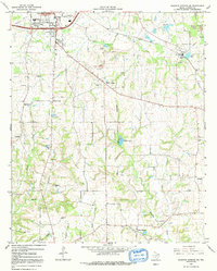
1964 Map of Sulphur Springs SE
USGS Topo · Published 1968This historical map portrays the area of Sulphur Springs SE in 1964, primarily covering Hopkins County. Featuring a scale of 1:24000, this map provides a highly detailed snapshot of the terrain, roads, buildings, counties, and historical landmarks in the Sulphur Springs SE region at the time. Published in 1968, it is one of 2 known editions of this map due to revisions or reprints.
Find a feature on this map
35 named features on this map. Tap any name to fly to it.
Don’t see what you’re looking for? This feature index may not catch every label — zoom into the map to look around manually.
Map Details
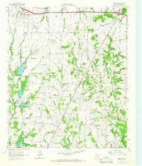
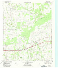
Editions of this 1964 Sulphur Springs SE Map
2 editions found
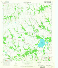
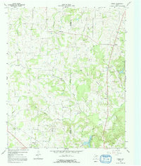
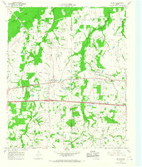
Historical Maps of Martin Springs Through Time
9 maps found
1962 Brashear
Hopkins County, TX
1962 Miller Grove
Hopkins County, TX
1962 Sulphur Bluff
Hopkins County, TX
1963 Mitchell Creek
Hopkins County, TX
1964 Gafford Chapel
Hopkins County, TX
1964 Purley
Hopkins County, TX
1964 Saltillo
Hopkins County, TX
1964 Sulphur Springs SE
Hopkins County, TX
1965 Dike
Hopkins County, TX