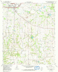
1964 Map of Sulphur Springs SE
USGS Topo · Published 1992About this map
Sulphur Springs anchors the northwest corner of this East Texas survey, where the landscape transitions into a network of creek branches and agricultural settlements. The eastern portion of the map is defined by industrial activity near Thermo, featuring extensive Claypits and a Sandpit that speak to the local extraction economy of the mid-1960s. Rural life is evidenced by a dense distribution of family-named landmarks and community hubs, including Martin Springs and the historic Reilly Springs.
Find a feature on this map
31 named features on this map. Tap any name to fly to it.
Don’t see what you’re looking for? This feature index may not catch every label — zoom into the map to look around manually.
Map Details
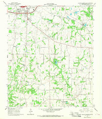
Editions of this 1964 Sulphur Springs SE Map
2 editions found
Other maps of this area

1953 · Texarkana
USGS Topo · 1:250,000

1956 · Texarkana
USGS Topo · 1:250,000

1956 · Tyler
USGS Topo · 1:250,000

1958 · Arbala
USGS Topo · 1:24,000

1959 · Yantis
USGS Topo · 1:24,000

1959 · Alba
USGS Topo · 1:62,500

1960 · Pleasant Grove
USGS Topo · 1:24,000

1962 · Brashear
USGS Topo · 1:24,000

1964 · Como
USGS Topo · 1:24,000

1964 · Sulphur Springs
USGS Topo · 1:24,000