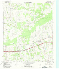
1965 Map of Dike
USGS Topo · Published 1991About this map
Dike and the surrounding rural landscape of Hopkins County are defined by a dense network of tributaries feeding into the larger river systems of Northeast Texas. This 1965 survey reveals a pattern of dispersed agricultural settlements, including Mahoney and Weaver, where community life centered around small country churches and cemeteries. Family history researchers will find valuable landmarks such as the Connor Cem, Bennett Cem, and Center Point Cem, alongside rural congregations like White Oak Ch and Richland Ch. The terrain is deeply etched by watercourses such as North Caney Creek and White Oak Creek, which dictated the layout of local roads and the placement of early farms. Industrial activity is minimal but present, evidenced by a Drill Hole near White Oak Junction and a Sandpit located near Brinker.
Find a feature on this map
24 named features on this map. Tap any name to fly to it.
Don’t see what you’re looking for? This feature index may not catch every label — zoom into the map to look around manually.
Map Details
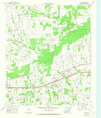
Editions of this 1965 Dike Map
2 editions found
Other maps of this area

1953 · Texarkana
USGS Topo · 1:250,000

1956 · Texarkana
USGS Topo · 1:250,000

1962 · Sulphur Bluff
USGS Topo · 1:24,000

1963 · Mitchell Creek
USGS Topo · 1:24,000

1964 · Saltillo
USGS Topo · 1:24,000

1964 · Como
USGS Topo · 1:24,000

1964 · Purley
USGS Topo · 1:24,000

1964 · Sulphur Springs
USGS Topo · 1:24,000

1964 · Tira
USGS Topo · 1:24,000
1964 · Sulphur Springs SE
USGS Topo · 1:24,000