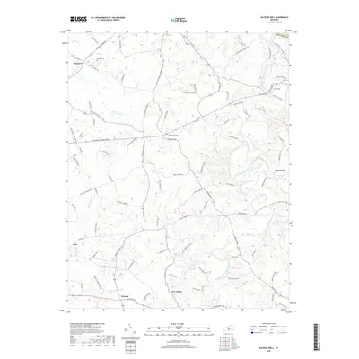
2019 Map of Sulphur Well
USGS Topo · Published 2019About this map
Knob Lick and Sulphur Well anchor this portion of Metcalfe County, characterized by a complex network of small settlements and family-named roads. The landscape is defined by the winding course of the South Fork Little Barren River, which is fed by numerous tributaries such as Knob Lick Cr, Sulphur Cr, and the notably named Ten Acre Br. Genealogists will find significant value in the location of rural burial sites like Buck Hill Cem and Nunn Cem, alongside small communities like Savoyard, Wisdom, and Echo. The road system, including Sulphur Well Knob Lick Rd and Hiseville-Center Rd, illustrates the historical connectivity between these agricultural hubs. Distinctive hydrological features like Big Blue Spring further mark the terrain, providing insight into the local water sources that likely influenced early settlement patterns in this Kentucky region.
Find a feature on this map
94 named features on this map. Tap any name to fly to it.
Don’t see what you’re looking for? This feature index may not catch every label — zoom into the map to look around manually.
Map Details
Editions of this 2019 Sulphur Well Map
This is the sole edition of this map. No revisions or reprints were ever made.
Other maps of this area

1935 · Horse Cave
USGS Topo · 1:48,000

1938 · Horse Cave
USGS Topo · 1:62,500

1953 · Sulphur Well
USGS Topo · 1:24,000

1953 · Temple Hill
USGS Topo · 1:24,000

1953 · Edmonton
USGS Topo · 1:24,000

1953 · Summer Shade
USGS Topo · 1:24,000

1953 · Exie
USGS Topo · 1:24,000

1953 · Center
USGS Topo · 1:24,000

1953 · East Fork
USGS Topo · 1:24,000

1954 · Park
USGS Topo · 1:24,000