
1961 Map of Sumdum A-3
USGS Topo · Published 1966About this map
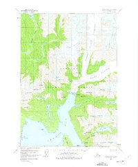
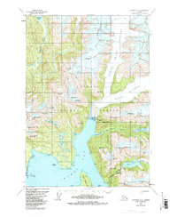
Thomas Bay and the surrounding wilderness of the Tongass National Forest dominate this 1961 field-annotated survey, capturing a landscape defined by dramatic glacial activity and deep coastal inlets. The massive Baird Glacier is shown in detail, its north and south reaches shaping the northeastern topography. The drainage patterns are clearly defined, with the Farragut River flowing south from Farragut Lake and the South Fork feeding into Scenery Cove. A solitary Cabin near the shore of Thomas Bay provides a rare sign of human presence in a territory otherwise marked by high summits like Agassiz Peak and Cosmos Peak. This survey provides a precise look at the hydrology of the Cosmos Range before significant shifts in glacial margins, documenting the exact positions of Falls Lake, Swan Lake, and the winding Cascade Creek.
Find a feature on this map
45 named features on this map. Tap any name to fly to it.
Don’t see what you’re looking for? This feature index may not catch every label — zoom into the map to look around manually.
Map Details
Editions of this 1961 Sumdum A-3 Map
Other maps of this area

1943 · Sumdum B-4
USGS Topo · 1:63,360

1948 · Sumdum A-4
USGS Topo · 1:63,360

1948 · Sumdum B-4
USGS Topo · 1:63,360

1951 · Petersburg D-4
USGS Topo · 1:63,360

1951 · Sumdum A-4
USGS Topo · 1:63,360

1952 · Petersburg
USGS Topo · 1:250,000

1952 · Sumdum
USGS Topo · 1:250,000

1960 · Petersburg
USGS Topo · 1:250,000

1961 · Sumdum A-2
USGS Topo · 1:63,360

1961 · Sumdum B-2
USGS Topo · 1:63,360