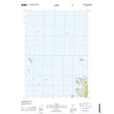
2017 Map of Sumdum B-5 SW
USGS Topo · Published 2017About this map
Stephens Passage dominates the maritime landscape of this coastal survey, where the deep waters of the Alexander Archipelago meet the fragmented shoreline of Southeast Alaska. The map highlights the western edge of the Tongass National Forest, illustrating a complex network of coastal features including Steamboat Bay and the narrow Cleveland Passage. Several prominent landforms define the navigation of these waters, from the northern Akusha Island and Point Walpole to the southern reaches near Bill Point. Unlike many inland surveys, this maritime-focused map emphasizes the relationship between the sheltered bays and the points that guard them, such as Fort Point and McNairy Point, which provide critical reference for those navigating the rugged coastline within the Foot Island vicinity.
Find a feature on this map
15 named features on this map. Tap any name to fly to it.
Don’t see what you’re looking for? This feature index may not catch every label — zoom into the map to look around manually.
Map Details
Editions of this 2017 Sumdum B-5 SW Map
This is the sole edition of this map. No revisions or reprints were ever made.
Other maps of this area

1948 · Sumdum A-5
USGS Topo · 1:63,360

1948 · Sumdum A-6
USGS Topo · 1:63,360

1948 · Sumdum B-6
USGS Topo · 1:63,360

1948 · Sumdum B-5
USGS Topo · 1:63,360

1951 · Sumdum B-5
USGS Topo · 1:63,360

1952 · Sumdum
USGS Topo · 1:250,000

1961 · Sumdum
USGS Topo · 1:250,000
1994 · Sumdum A-6
USGS Topo · 1:63,360
1996 · Sumdum B-5
USGS Topo · 1:63,360
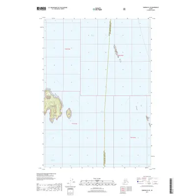
2017 · Sumdum B-6 SE
USGS Topo · 1:25,000