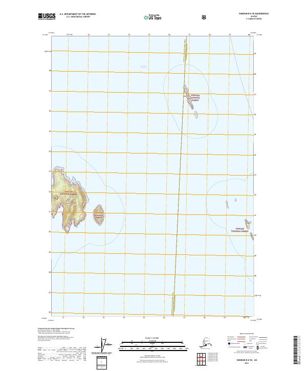
2021 Map of Sumdum B-6 SE
USGS Topo · Published 2021About this map
Stephens Passage dominates this maritime survey, revealing a remote archipelago where the Hoonah-Angoon Census Area and Petersburg Borough meet. The landscape is defined by the isolated outcroppings of the Tongass National Forest, including the prominent East Brother Island and the smaller cluster known as The Brothers. Further to the east, Sail Island and the distinctive The Five Fingers rise from the deep coastal waters. This map serves as a contemporary record of these uninhabited landforms, detailing the intricate shoreline and bathymetry of the Alexander Archipelago. The survey illustrates the complex maritime boundaries and township divisions that govern this section of the Alaskan panhandle, far removed from any mainland infrastructure.
Find a feature on this map
11 named features on this map. Tap any name to fly to it.
Don’t see what you’re looking for? This feature index may not catch every label — zoom into the map to look around manually.
Map Details
Editions of this 2021 Sumdum B-6 SE Map
This is the sole edition of this map. No revisions or reprints were ever made.
Other maps of this area

1948 · Sumdum A-5
USGS Topo · 1:63,360

1948 · Sumdum A-6
USGS Topo · 1:63,360

1948 · Sumdum B-6
USGS Topo · 1:63,360

1948 · Sumdum B-5
USGS Topo · 1:63,360

1951 · Sumdum B-5
USGS Topo · 1:63,360

1952 · Sumdum
USGS Topo · 1:250,000

1961 · Sumdum
USGS Topo · 1:250,000
1994 · Sumdum A-6
USGS Topo · 1:63,360
1996 · Sumdum B-5
USGS Topo · 1:63,360
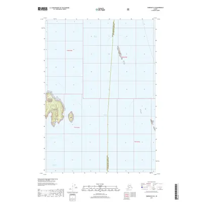
2017 · Sumdum B-6 SE
USGS Topo · 1:25,000