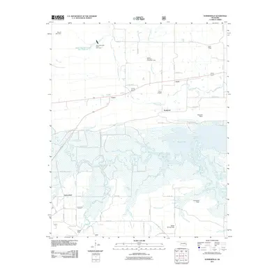
2011 Map of Summerfield
USGS Topo · Published 2011About this map
Wister Lake dominates the central landscape of this LeFlore County study, where the waters of the Poteau River meet a complex network of wetlands and creek channels. The northern section of the map is defined by the east-west corridor of the small settlements of Caston, Victor, and Braidwood, while Summerfield sits further south near Holson Creek. Local history is anchored by the Maxey Cemetery and Summerfield Cemetery, which serve as vital markers for genealogical research in this rural Oklahoma region.
Find a feature on this map
50 named features on this map. Tap any name to fly to it.
Don’t see what you’re looking for? This feature index may not catch every label — zoom into the map to look around manually.
Map Details
Editions of this 2011 Summerfield Map
This is the sole edition of this map. No revisions or reprints were ever made.
Other maps of this area

1900 · Sallisaw
USGS Topo · 1:125,000

1900 · Winding Stair
USGS Topo · 1:125,000

1909 · Winding Stair
USGS Topo · 1:125,000

1911 · Sallisaw
USGS Topo · 1:125,000

1946 · Fort Smith
USGS Topo · 1:250,000

1950 · Mcalester
USGS Topo · 1:250,000

1959 · Heavener
USGS Topo · 1:62,500

1962 · McAlester
USGS Topo · 1:250,000

1965 · Fort Smith
USGS Topo · 1:250,000

1965 · McAlester
USGS Topo · 1:250,000