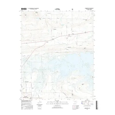
2016 Map of Summerfield
USGS Topo · Published 2016About this map
Wister Lake and the meandering waters of the Fourche Maline define the central landscape of this LeFlore County region. The map captures a corridor of small settlements including Fanshawe, Victor, Caston, and Braidwood, all situated north of the expansive Ouachita National Forest. This 2016 survey illustrates the modern road network, from highway connectors to rural routes like Maggie Loop and Wards Landing Rd, reflecting the contemporary layout of these traditional Oklahoma communities.
Find a feature on this map
70 named features on this map. Tap any name to fly to it.
Don’t see what you’re looking for? This feature index may not catch every label — zoom into the map to look around manually.
Map Details
Editions of this 2016 Summerfield Map
This is the sole edition of this map. No revisions or reprints were ever made.
Other maps of this area

1900 · Sallisaw
USGS Topo · 1:125,000

1900 · Winding Stair
USGS Topo · 1:125,000

1909 · Winding Stair
USGS Topo · 1:125,000

1911 · Sallisaw
USGS Topo · 1:125,000

1946 · Fort Smith
USGS Topo · 1:250,000

1950 · Mcalester
USGS Topo · 1:250,000

1959 · Heavener
USGS Topo · 1:62,500

1962 · McAlester
USGS Topo · 1:250,000

1965 · Fort Smith
USGS Topo · 1:250,000

1965 · McAlester
USGS Topo · 1:250,000