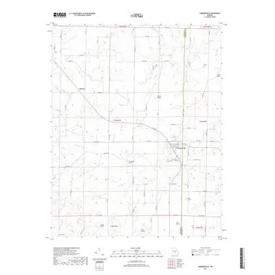
1968 Map of Summersville
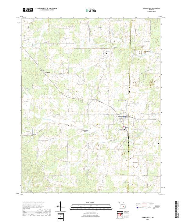
USGS Topo · Published 1985About this map
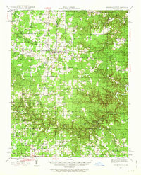
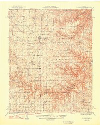
Summersville sits at the intersection of local trade routes on the plateau of the Ozarks, serving as a primary settlement for the rural reaches of Texas and Shannon counties. The landscape is defined by its dendritic drainage systems, where Dry Bone Creek and Spring Valley Creek have carved deep hollows through the limestone. This late-1960s survey, with updates from the 1980s, reveals a dispersed agricultural pattern centered on family and community landmarks such as Bethel Ch and the Pickett Cem. The mapping of unique local place names like Dirt House and the geologically distinct The Drop-In offers a clear view of how early settlers identified and utilized the terrain. Much of the eastern portion of the map covers Casto Valley Creek, illustrating the transition from open ridge-top fields to the more enclosed, timbered valleys characteristic of this Missouri interior.
Find a feature on this map
19 named features on this map. Tap any name to fly to it.
Don’t see what you’re looking for? This feature index may not catch every label — zoom into the map to look around manually.
Map Details
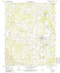
Editions of this 1968 Summersville Map
2 editions found
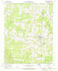
Historical Maps of Summersville Through Time
7 maps found