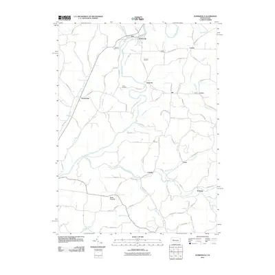
2010 Map of Summerville
USGS Topo · Published 2010About this map
Redbank Creek winds through this central Pennsylvania landscape, serving as a primary drainage for the communities of Summerville and Troy. The area is characterized by a high density of established family and community burial grounds, including the Westview Cemetery, Carrier Cemetery, and Vandervort Cemetery, which reflect the deep roots of the local population. To the south, Little Sandy Creek provides another major waterway, passing through Langville toward Worthville.
Find a feature on this map
102 named features on this map. Tap any name to fly to it.
Don’t see what you’re looking for? This feature index may not catch every label — zoom into the map to look around manually.
Map Details
Editions of this 2010 Summerville Map
This is the sole edition of this map. No revisions or reprints were ever made.
Other maps of this area

1901 · Rural Valley
USGS Topo · 1:62,500

1903 · Rural Valley
USGS Topo · 1:62,500

1906 · Clarion
USGS Topo · 1:62,500

1907 · Clarion
USGS Topo · 1:62,500

1909 · Smicksburg
USGS Topo · 1:62,500

1924 · Brookville
USGS Topo · 1:62,500

1926 · Brookville
USGS Topo · 1:62,500

1938 · Smicksburg
USGS Topo · 1:62,500

1939 · Smicksburg
USGS Topo · 1:62,500

1944 · Brookville
USGS Topo · 1:62,500