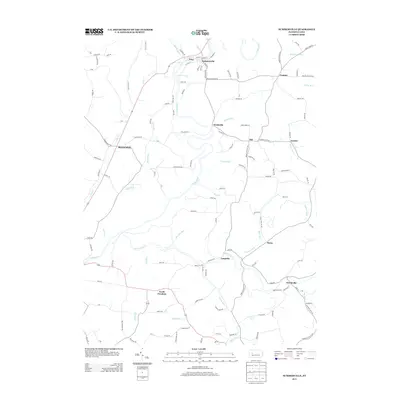
2013 Map of Summerville
USGS Topo · Published 2013About this map
The borough of Summerville and the adjacent settlement of Troy anchor the northern landscape along the winding course of Redbank Cr. This western Pennsylvania territory is defined by a dense network of small hamlets and rural corridors, including North Freedom, Heathville, and Shannondale. The map reveals a highly dissected terrain where drainage patterns like Little Sandy Cr and Nolf Run shaped the historical placement of roads and homesteads. Further south, the village of Worthville sits near the confluence of Big Run and Little Sandy Cr, illustrating the typical mid-Atlantic pattern of stream-side settlement. Genealogists will find a wealth of family-named road labels such as Maurer Ln, Raybuck Rd, and Brosius Rd that reflect the agricultural and community heritage of this Clarion County region.
Find a feature on this map
131 named features on this map. Tap any name to fly to it.
Don’t see what you’re looking for? This feature index may not catch every label — zoom into the map to look around manually.
Map Details
Editions of this 2013 Summerville Map
This is the sole edition of this map. No revisions or reprints were ever made.
Other maps of this area

1901 · Rural Valley
USGS Topo · 1:62,500

1903 · Rural Valley
USGS Topo · 1:62,500

1906 · Clarion
USGS Topo · 1:62,500

1907 · Clarion
USGS Topo · 1:62,500

1909 · Smicksburg
USGS Topo · 1:62,500

1924 · Brookville
USGS Topo · 1:62,500

1926 · Brookville
USGS Topo · 1:62,500

1938 · Smicksburg
USGS Topo · 1:62,500

1939 · Smicksburg
USGS Topo · 1:62,500

1944 · Brookville
USGS Topo · 1:62,500