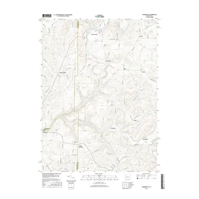
2016 Map of Summerville
USGS Topo · Published 2016About this map
Redbank Creek carves a winding path through the borderlands of Clarion and Jefferson counties, serving as a primary drainage for the surrounding highlands. The settlement of Summerville is situated at the confluence where Carrier Run and Runaway Run meet the creek, with residential streets like W Penn St and Broad St defining the local geography. The landscape is characterized by narrow valleys and steep ridges, such as Graham Hill Rd in the south, while small agricultural and residential clusters like Heathville, Ohl, and Pansy are scattered throughout the upland areas.
Find a feature on this map
104 named features on this map. Tap any name to fly to it.
Don’t see what you’re looking for? This feature index may not catch every label — zoom into the map to look around manually.
Map Details
Editions of this 2016 Summerville Map
This is the sole edition of this map. No revisions or reprints were ever made.
Other maps of this area

1901 · Rural Valley
USGS Topo · 1:62,500

1903 · Rural Valley
USGS Topo · 1:62,500

1906 · Clarion
USGS Topo · 1:62,500

1907 · Clarion
USGS Topo · 1:62,500

1909 · Smicksburg
USGS Topo · 1:62,500

1924 · Brookville
USGS Topo · 1:62,500

1926 · Brookville
USGS Topo · 1:62,500

1938 · Smicksburg
USGS Topo · 1:62,500

1939 · Smicksburg
USGS Topo · 1:62,500

1944 · Brookville
USGS Topo · 1:62,500