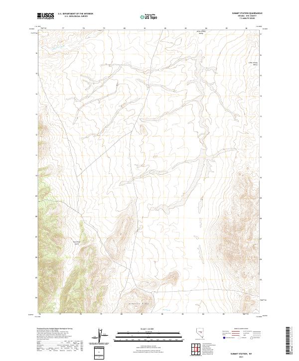
2021 Map of Summit Station
USGS Topo · Published 2021About this map
Little Smoky Valley dominates the eastern margin of this map, illustrating the high-elevation basin-and-range topography characteristic of Nye County. The landscape is defined by drainage systems such as Big Fault Wash in the north and the deep incision of Twin Piñon Gulch to the west. This 2021 survey provides a contemporary view of these natural features, showing how the alluvial fans from Andesite Ridge sweep down into the valley floor. Rock Spring serves as a critical water source in this arid environment, situated near the southern boundary of the quadrangle. The map captures the remote character of the region, where surveyors and land managers rely on the Public Land Survey System grid, including townships like t13n r53e, to navigate the vast stretches of open terrain.
Find a feature on this map
10 named features on this map. Tap any name to fly to it.
Don’t see what you’re looking for? This feature index may not catch every label — zoom into the map to look around manually.
Map Details
Editions of this 2021 Summit Station Map
This is the sole edition of this map. No revisions or reprints were ever made.
Other maps of this area

1926 · Roberts Mountains
USGS Topo · 1:250,000

1929 · Roberts Mountains
USGS Topo · 1:250,000

1955 · Millett
USGS Topo · 1:250,000

1956 · Cockalorum Wash
USGS Topo · 1:62,500

1956 · Lund
USGS Topo · 1:250,000

1956 · Ely
USGS Topo · 1:250,000

1956 · Tonopah
USGS Topo · 1:250,000

1959 · Ely
USGS Topo · 1:250,000

1959 · Tonopah
USGS Topo · 1:250,000

1959 · Millett
USGS Topo · 1:250,000