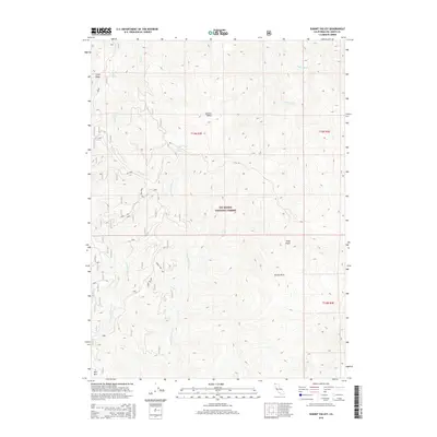
2015 Map of Summit Valley
USGS Topo · Published 2015About this map
Six Rivers National Forest defines the character of this high-elevation landscape in Del Norte County, where the topography is shaped by a series of steep ridges and creek drainages. The map centers on Summit Valley, a significant high-altitude basin flanked by prominent peaks including Peak Eight and the distinctively named Doctor Rock. This area serves as a critical watershed, feeding various tributaries such as the Crescent City Fork, E Fork Goose Cr, and Blue Cr. The drainage patterns reveal the complex hydrology of the northern California mountains, with seasonal water sources like Wooley Bear Spring and Cedar Camp Spring providing vital points of reference in the backcountry. Access is primarily facilitated by the G-O Rd and various forest routes, which navigate the terrain near Lems Ridge and Red Mtn.
Find a feature on this map
20 named features on this map. Tap any name to fly to it.
Don’t see what you’re looking for? This feature index may not catch every label — zoom into the map to look around manually.
Map Details
Editions of this 2015 Summit Valley Map
This is the sole edition of this map. No revisions or reprints were ever made.
Other maps of this area

1922 · Preston Peak
USGS Topo · 1:125,000

1925 · Hoopa
USGS Topo · 1:125,000

1945 · Ship Mountain
USGS Topo · 1:62,500

1945 · Tectah Creek
USGS Topo · 1:62,500

1948 · Weed
USGS Topo · 1:250,000

1950 · Weed
USGS Topo · 1:250,000

1952 · Ship Mountain
USGS Topo · 1:62,500

1952 · Orleans
USGS Topo · 1:62,500

1952 · Tectah Creek
USGS Topo · 1:62,500

1955 · Dillon Mtn
USGS Topo · 1:62,500