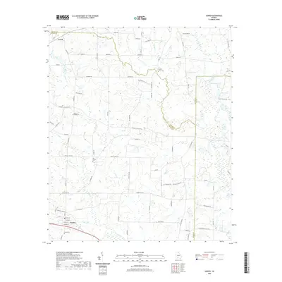
2020 Map of Sumner
USGS Topo · Published 2020About this map
Sumner serves as a focal point for this Southwest Georgia landscape, where agricultural roads and family-named routes define the movement through the countryside. The terrain is deeply tied to its water systems, notably the Little River and numerous branches including Ty Ty Cr, Daniels Cr, and Lime Sink Cr. Small settlements and rural hubs like Terrell are connected by a network of local roads such as Shingler Little River Rd and Ephesus Church Rd.
Find a feature on this map
75 named features on this map. Tap any name to fly to it.
Don’t see what you’re looking for? This feature index may not catch every label — zoom into the map to look around manually.
Map Details
Editions of this 2020 Sumner Map
This is the sole edition of this map. No revisions or reprints were ever made.
Other maps of this area

1953 · Waycross
USGS Topo · 1:250,000

1956 · Sylvester
USGS Topo · 1:62,500

1956 · Doerun
USGS Topo · 1:62,500

1958 · Waycross
USGS Topo · 1:250,000

1972 · Cuffietown
USGS Topo · 1:24,000

1973 · Sumner
USGS Topo · 1:24,000

1973 · Ty Ty
USGS Topo · 1:24,000

1973 · Sylvester
USGS Topo · 1:24,000

1973 · Ashburn
USGS Topo · 1:24,000

1973 · Chula
USGS Topo · 1:24,000