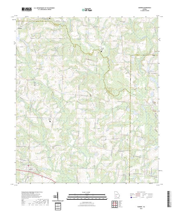
2024 Map of Sumner
USGS Topo · Published 2024About this map
Sumner anchors the southwestern corner of this landscape, where the intersection of local routes and the rail corridor once shaped the rural economy of Worth County. This 2024 survey captures the persistence of traditional land divisions, with numerous family-named roads and landmarks reflecting generations of agricultural heritage. Waterways such as Daniels Creek and Little Creek carve through the terrain, leading toward the Little River and creating natural basins for local landmarks like Ross Lake and Cravey Pond. Local history is preserved in the numerous country churches and cemeteries that dot the countryside, including Clements Chapel and the Damascus Cem. To the north, the small settlement of Terrell sits near the Turner County line, while the presence of the New Mount Pleasant Baptist Church and Millers Chapel highlights the enduring community centers that have served this Georgia region for decades.
Find a feature on this map
86 named features on this map. Tap any name to fly to it.
Don’t see what you’re looking for? This feature index may not catch every label — zoom into the map to look around manually.
Map Details
Editions of this 2024 Sumner Map
This is the sole edition of this map. No revisions or reprints were ever made.
Other maps of this area

1953 · Waycross
USGS Topo · 1:250,000

1956 · Sylvester
USGS Topo · 1:62,500

1956 · Doerun
USGS Topo · 1:62,500

1958 · Waycross
USGS Topo · 1:250,000

1972 · Cuffietown
USGS Topo · 1:24,000

1973 · Sumner
USGS Topo · 1:24,000

1973 · Ty Ty
USGS Topo · 1:24,000

1973 · Sylvester
USGS Topo · 1:24,000

1973 · Ashburn
USGS Topo · 1:24,000

1973 · Chula
USGS Topo · 1:24,000