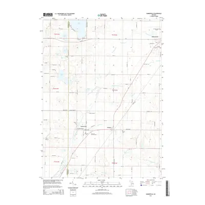
2014 Map of Sumnerville
USGS Topo · Published 2014About this map
The Dowagiac River cuts a prominent diagonal across this landscape, serving as the primary drainage for a network of creeks including Peavine Cr and Pokagon Cr. This area on the border of Berrien and Cass counties is characterized by a high density of rural burial grounds, such as Sumnerville Cem, Rodgers Cem, and the extensive Mission Hills Memorial Gardens. The settlement of Sumnerville sits at a crossroads near the river, while the village of Pokagon lies further east along the highway corridor. To the north, the terrain transitions into a lacustrine environment featuring Indian Lake, Brush Lake, and Curtis Lake. The presence of the Dowagiac Municipal Airport in the northeast corner near Dowagiac indicates the modern infrastructure supporting this historically agricultural and water-oriented region.
Find a feature on this map
87 named features on this map. Tap any name to fly to it.
Don’t see what you’re looking for? This feature index may not catch every label — zoom into the map to look around manually.
Map Details
Editions of this 2014 Sumnerville Map
This is the sole edition of this map. No revisions or reprints were ever made.
Other maps of this area

1927 · Niles
USGS Topo · 1:62,500

1927 · Hartford
USGS Topo · 1:62,500

1927 · Benton Harbor
USGS Topo · 1:62,500

1930 · Benton Harbor
USGS Topo · 1:62,500

1930 · Niles
USGS Topo · 1:62,500

1931 · Hartford
USGS Topo · 1:62,500

1943 · Niles
USGS Topo · 1:62,500

1945 · Cassopolis
USGS Topo · 1:62,500

1947 · Cassopolis
USGS Topo · 1:62,500

1953 · Chicago
USGS Topo · 1:250,000