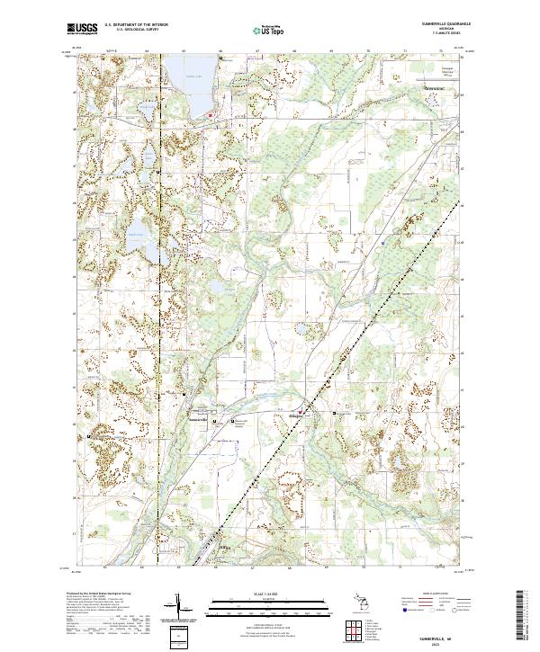
2023 Map of Sumnerville
USGS Topo · Published 2023About this map
The Dowagiac River winds through this pocket of Cass County, anchoring a landscape defined by its glacial lakes and rural settlements. Near the center, the community of Sumnerville sits along the banks of Pokagon Creek, adjacent to the Sumnerville Cem and the Sommers area. The map reveals a high density of burial grounds essential for genealogical research, including the Mission Hills Memorial Gardens, Rodgers Cem, and Evergreen Cem near the village of Pokagon. Further north, Indian Lake and Brush Lake are surrounded by a network of local routes like Forest Beach Rd and Brush Lake Rd. This documentation of the Berrien and Cass County borderlands highlights the persistent agricultural and residential patterns of Southwestern Michigan, extending toward the northern outskirts of Niles and the southern edge of Dowagiac near the Dowagiac Municipal Airport.
Find a feature on this map
70 named features on this map. Tap any name to fly to it.
Don’t see what you’re looking for? This feature index may not catch every label — zoom into the map to look around manually.
Map Details
Editions of this 2023 Sumnerville Map
This is the sole edition of this map. No revisions or reprints were ever made.
Other maps of this area

1927 · Niles
USGS Topo · 1:62,500

1927 · Hartford
USGS Topo · 1:62,500

1927 · Benton Harbor
USGS Topo · 1:62,500

1930 · Benton Harbor
USGS Topo · 1:62,500

1930 · Niles
USGS Topo · 1:62,500

1931 · Hartford
USGS Topo · 1:62,500

1943 · Niles
USGS Topo · 1:62,500

1945 · Cassopolis
USGS Topo · 1:62,500

1947 · Cassopolis
USGS Topo · 1:62,500

1953 · Chicago
USGS Topo · 1:250,000