
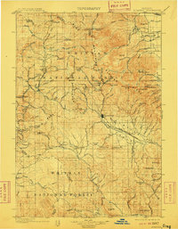
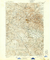
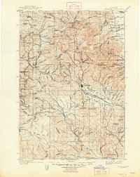
1901 Map of Sumpter
USGS Topo · Published 1901About this map
Mining operations and timber-fed narrow gauge rail lines dominate this late-nineteenth-century landscape within the Blue Mountains. The thriving hub of Sumpter sits at the head of the Sumpter Valley River, serving as a vital nexus for the region's intense gold mining activity. High in the Elkhorn Ridge, specialized lode mines such as the Baisley-Elkhorn, Columbia, and Golconda are clearly marked, illustrating the shift from early placer mining to industrial quartz operations. This survey captures several small settlements and camps including Belleview, Bourne, and Robinsonville during the peak of the Eastern Oregon mining boom.
Find a feature on this map
104 named features on this map. Tap any name to fly to it.
Don’t see what you’re looking for? This feature index may not catch every label — zoom into the map to look around manually.
Map Details
Editions of this 1901 Sumpter Map
4 editions found
Other maps of this area

1901 · Baker City
USGS Topo · 1:125,000

1906 · Telocaset
USGS Topo · 1:125,000

1908 · Ironside Mountain
USGS Topo · 1:125,000

1951 · Bates
USGS Topo · 1:62,500

1951 · Desolation Butte
USGS Topo · 1:62,500

1953 · Pendleton
USGS Topo · 1:250,000

1955 · Baker
USGS Topo · 1:250,000

1955 · Grangeville
USGS Topo · 1:250,000

1955 · Canyon City
USGS Topo · 1:250,000

1956 · Pendleton
USGS Topo · 1:250,000