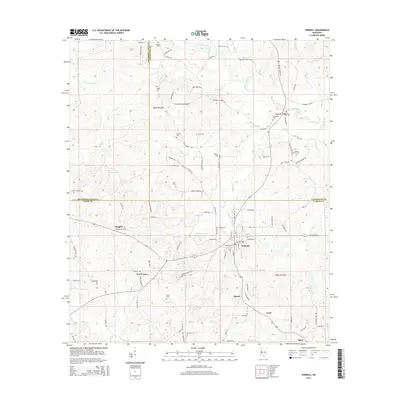
2015 Map of Sumrall
USGS Topo · Published 2015About this map
Sumrall serves as the focal point of this South Mississippi landscape, where the confluence of several county lines—Jefferson Davis, Covington, and Lamar—meets at a network of creeks and small rivers. The area is characterized by its numerous family cemeteries, including Presley Watts Cem, Aultman Cem, and Taylor Cem, which offer significant value for genealogical research in these rural communities.
Find a feature on this map
108 named features on this map. Tap any name to fly to it.
Don’t see what you’re looking for? This feature index may not catch every label — zoom into the map to look around manually.
Map Details
Editions of this 2015 Sumrall Map
This is the sole edition of this map. No revisions or reprints were ever made.
Other maps of this area

1953 · Hattiesburg
USGS Topo · 1:250,000

1958 · Hattiesburg
USGS Topo · 1:250,000

1964 · Seminary
USGS Topo · 1:24,000

1965 · Hattiesburg SW
USGS Topo · 1:24,000

1965 · Sanford
USGS Topo · 1:24,000

1974 · Sumrall
USGS Topo · 1:24,000

1974 · Oloh
USGS Topo · 1:24,000

1974 · Williamsburg
USGS Topo · 1:24,000

1974 · Bassfield
USGS Topo · 1:24,000

1974 · Lake Mike Connor
USGS Topo · 1:24,000