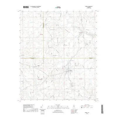
2018 Map of Sumrall
USGS Topo · Published 2018About this map
Sumrall anchors this corner of Lamar County, showing a well-established grid of local streets like Lagoon Ave and Preston St near the Sumrall Mill Cr drainage. The landscape is characterized by a dense network of family-named cemeteries, suggesting a deep-rooted rural population across the hills surrounding the Bouie River. Places like Lowery Cem, Presley-Watts Cem, and New Hope Cem serve as vital markers for local genealogy, situated among small settlements like Higgins and Bynum. The terrain transitions into low-lying wetlands to the northeast, where the Gubby Reed Brake sits along the Beaver Cr watershed. This topographic study reflects the modern continuity of traditional South Mississippi land divisions, with prominent county lines separating Lamar from Jefferson Davis and Covington counties.
Find a feature on this map
105 named features on this map. Tap any name to fly to it.
Don’t see what you’re looking for? This feature index may not catch every label — zoom into the map to look around manually.
Map Details
Editions of this 2018 Sumrall Map
This is the sole edition of this map. No revisions or reprints were ever made.
Other maps of this area

1953 · Hattiesburg
USGS Topo · 1:250,000

1958 · Hattiesburg
USGS Topo · 1:250,000

1964 · Seminary
USGS Topo · 1:24,000

1965 · Hattiesburg SW
USGS Topo · 1:24,000

1965 · Sanford
USGS Topo · 1:24,000

1974 · Sumrall
USGS Topo · 1:24,000

1974 · Oloh
USGS Topo · 1:24,000

1974 · Williamsburg
USGS Topo · 1:24,000

1974 · Bassfield
USGS Topo · 1:24,000

1974 · Lake Mike Connor
USGS Topo · 1:24,000