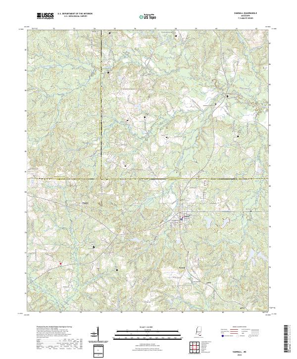
2024 Map of Sumrall
USGS Topo · Published 2024About this map
The town of Sumrall serves as the central hub of this Mississippi landscape, where the convergence of Covington and Lamar counties shapes the local geography. The area is defined by a dense network of family-named cemeteries and rural crossroads, indicating a deeply rooted community structure. Significant watercourses like the Bouie River and Gum Swamp Creek traverse the terrain, while smaller tributaries such as Sumrall Mill Creek and Martin Branch hint at the historic mill and agricultural activities that once dominated the economy.
Find a feature on this map
113 named features on this map. Tap any name to fly to it.
Don’t see what you’re looking for? This feature index may not catch every label — zoom into the map to look around manually.
Map Details
Editions of this 2024 Sumrall Map
This is the sole edition of this map. No revisions or reprints were ever made.
Other maps of this area

1953 · Hattiesburg
USGS Topo · 1:250,000

1958 · Hattiesburg
USGS Topo · 1:250,000
1964 · Seminary
USGS Topo · 1:24,000
1965 · Hattiesburg SW
USGS Topo · 1:24,000
1965 · Sanford
USGS Topo · 1:24,000
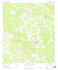
1974 · Sumrall
USGS Topo · 1:24,000
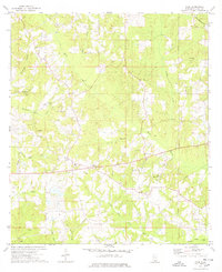
1974 · Oloh
USGS Topo · 1:24,000
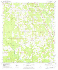
1974 · Williamsburg
USGS Topo · 1:24,000
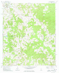
1974 · Bassfield
USGS Topo · 1:24,000
1974 · Lake Mike Connor
USGS Topo · 1:24,000