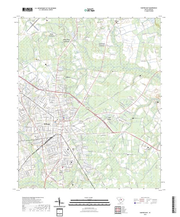
2024 Map of Sumter East
USGS Topo · Published 2024About this map
Sumter serves as the central hub of this South Carolina landscape, where the urban grid of the city transitions into the wetlands of Rocky Bluff Swamp and Green Swamp. The mapping details the significant academic presence of Morris College and Central Carolina Technical College, alongside the civic center at the Sumter County Judicial Center. Beyond the city limits, the terrain is defined by a series of agricultural crossroads and small settlements such as Mulberry, Oswego, and Quinns Crossroad. Numerous family and community burial grounds, including the Pringle Family Cem and White-Dick Cem, are scattered throughout the outlying areas, offering specific points of interest for genealogical research. The hydrological network is dense, with Cane Savannah Creek and Alligator Branch winding through the lowlands, illustrating the complex drainage patterns that characterize the region east of the Wateree River valley.
Find a feature on this map
300 named features on this map. Tap any name to fly to it.
Don’t see what you’re looking for? This feature index may not catch every label — zoom into the map to look around manually.
Map Details
Editions of this 2024 Sumter East Map
This is the sole edition of this map. No revisions or reprints were ever made.
Historical Maps of Oaklawn Through Time
11 maps found
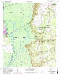
1953 Poinsett State Park
Sumter County, SC
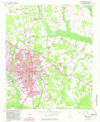
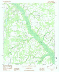
1957 Sumter East
Sumter County, SC
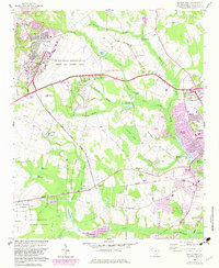
1957 Sumter West
Sumter County, SC
1961 Sumter West
Sumter County, SC
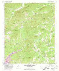
1983 Brogdon
Sumter County, SC
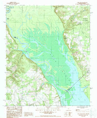
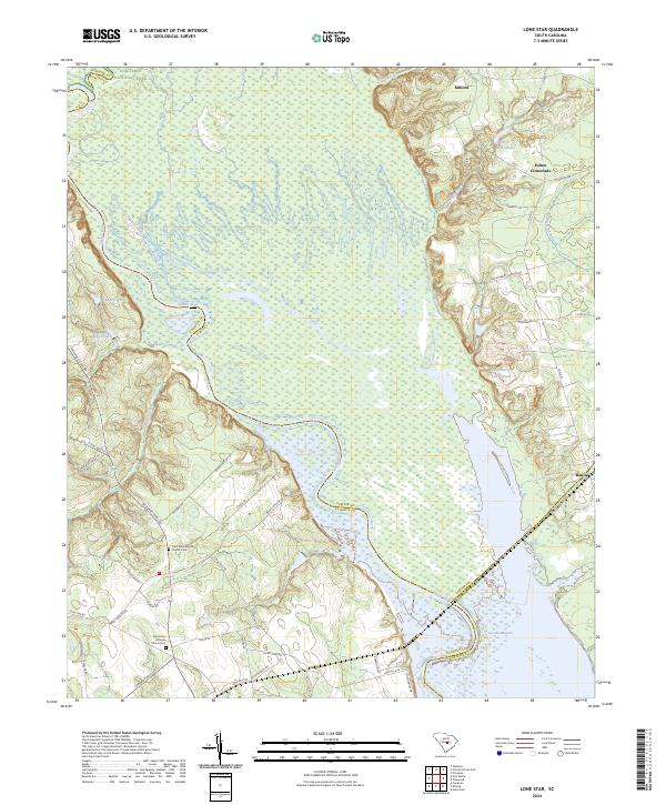
1988 Lone Star
Sumter County, SC
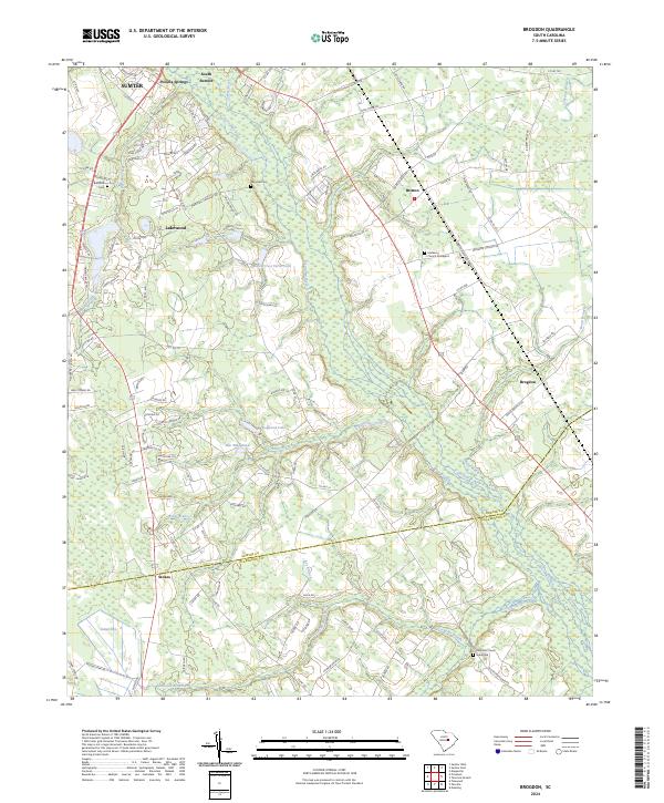
2024 Brogdon
Sumter County, SC
2024 Lone Star
Sumter County, SC
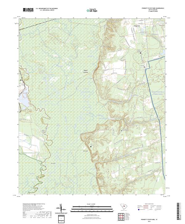
2024 Poinsett State Park
Sumter County, SC
2024 Sumter East
Sumter County, SC
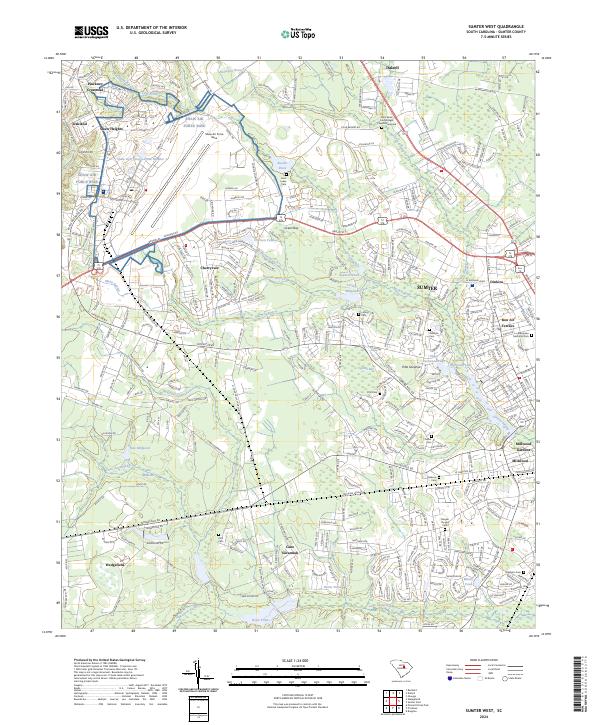
2024 Sumter West
Sumter County, SC
Featured Locations
- Concord Estates, SC
- Golden Acre Mobile Home Park, SC
- Sumter, SC
- Jefferson Park, SC
- Rocky Bluff Crossroads, SC