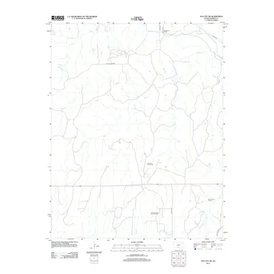
2012 Map of Sun City SW
USGS Topo · Published 2012About this map
The Medicine Lodge River winds through this rural Kansas landscape, crossed in the north by the Memorial Bridge. This terrain is defined by a dense network of intermittent drainage, where Elk Cr and Bear Cr feed into the larger river system. While the land remains largely open ranching or agricultural country, the infrastructure of the regional energy industry is clearly established. Several concentrated extraction zones are noted across the southern half of the quadrangle, including the Donald Oil and Gas Field, the Deerhead North Oil and Gas Field, and the Stumph Oil and Gas Field. A grid of local roads like SW Aetna Rd and NW White Sands Rd provides access to these remote fields and the surrounding countryside, marking the intersection of natural watercourses and modern industrial development.
Find a feature on this map
18 named features on this map. Tap any name to fly to it.
Don’t see what you’re looking for? This feature index may not catch every label — zoom into the map to look around manually.
Map Details
Editions of this 2012 Sun City SW Map
This is the sole edition of this map. No revisions or reprints were ever made.
Other maps of this area

1891 · Medicine Lodge
USGS Topo · 1:125,000

1892 · Coldwater
USGS Topo · 1:125,000

1893 · Medicine Lodge
USGS Topo · 1:125,000

1955 · Pratt
USGS Topo · 1:250,000

1959 · Pratt
USGS Topo · 1:250,000

1968 · Sun City SW
USGS Topo · 1:24,000
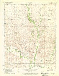
1968 · Sun City
USGS Topo · 1:24,000

1968 · Wilmore SE
USGS Topo · 1:24,000

1968 · Belvidere
USGS Topo · 1:24,000
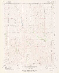
1973 · Sun City NE
USGS Topo · 1:24,000