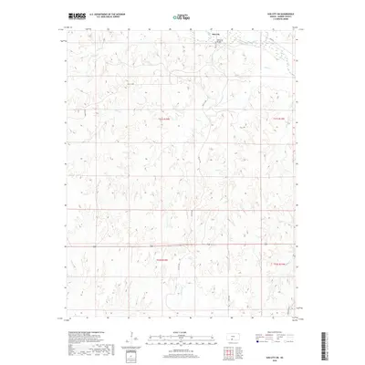
2018 Map of Sun City SW
USGS Topo · Published 2018About this map
The Medicine Lodge River winds across the northern reaches of this Barber County landscape, providing the primary drainage for a network of prairie tributaries. Near the settlement of Sun City, the Memorial Bridge spans the river, serving as a vital connection point for local travel along River Rd. This survey captures the rural character of the region, where the terrain is marked by distinctive features such as the White Sands and the deeply incised valleys of Bear Cr, Turkey Cr, and Mulberry Cr.
Find a feature on this map
20 named features on this map. Tap any name to fly to it.
Don’t see what you’re looking for? This feature index may not catch every label — zoom into the map to look around manually.
Map Details
Editions of this 2018 Sun City SW Map
This is the sole edition of this map. No revisions or reprints were ever made.
Other maps of this area

1891 · Medicine Lodge
USGS Topo · 1:125,000

1892 · Coldwater
USGS Topo · 1:125,000

1893 · Medicine Lodge
USGS Topo · 1:125,000

1955 · Pratt
USGS Topo · 1:250,000

1959 · Pratt
USGS Topo · 1:250,000

1968 · Sun City SW
USGS Topo · 1:24,000
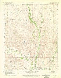
1968 · Sun City
USGS Topo · 1:24,000

1968 · Wilmore SE
USGS Topo · 1:24,000

1968 · Belvidere
USGS Topo · 1:24,000
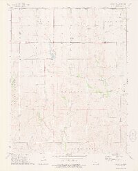
1973 · Sun City NE
USGS Topo · 1:24,000