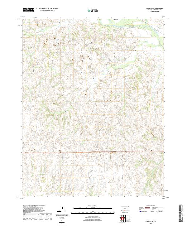
2022 Map of Sun City SW
USGS Topo · Published 2022About this map
The Medicine Lodge River carves across the northern reaches of this Barber County landscape, just south of the community of Sun City. This portion of the Gypsum Hills is defined by a dense network of drainage systems, including Bear Cr, Dog Cr, and Inman Cr, which dissect the high plains terrain. A notable geological transition occurs at White Sands in the western section of the map, where the local topography shifts in character. The rural infrastructure relies on established routes such as Sun City Rd and River Rd, which follow the natural contours of the river valley. The landscape remains primarily agricultural and open, with the intricate creek branches like N Elk Cr and S Elk Cr illustrating the complex erosion patterns characteristic of the southern Kansas borderlands.
Find a feature on this map
20 named features on this map. Tap any name to fly to it.
Don’t see what you’re looking for? This feature index may not catch every label — zoom into the map to look around manually.
Map Details
Editions of this 2022 Sun City SW Map
This is the sole edition of this map. No revisions or reprints were ever made.
Other maps of this area

1891 · Medicine Lodge
USGS Topo · 1:125,000

1892 · Coldwater
USGS Topo · 1:125,000

1893 · Medicine Lodge
USGS Topo · 1:125,000

1955 · Pratt
USGS Topo · 1:250,000

1959 · Pratt
USGS Topo · 1:250,000

1968 · Sun City SW
USGS Topo · 1:24,000
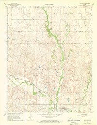
1968 · Sun City
USGS Topo · 1:24,000

1968 · Wilmore SE
USGS Topo · 1:24,000

1968 · Belvidere
USGS Topo · 1:24,000
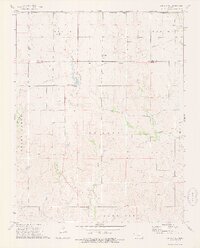
1973 · Sun City NE
USGS Topo · 1:24,000