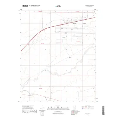
2018 Map of Sun Valley
USGS Topo · Published 2018About this map
The confluence of the Puerco River and the Little Colorado River defines the southern portion of this high-desert landscape in Navajo County. This modern survey shows a region divided between the grid-iron residential street patterns of Sun Valley and the expansive, open terrain typical of the Painted Desert region. The settlement of Arntz sits south of the main residential hub, marking a point along the seasonal watercourse of the Puerco.
Find a feature on this map
32 named features on this map. Tap any name to fly to it.
Don’t see what you’re looking for? This feature index may not catch every label — zoom into the map to look around manually.
Map Details
Editions of this 2018 Sun Valley Map
This is the sole edition of this map. No revisions or reprints were ever made.
Other maps of this area

1883 · Tusayan
USGS Topo · 1:250,000

1886 · St Johns
USGS Topo · 1:250,000

1886 · Tusayan
USGS Topo · 1:250,000

1886 · Fort Defiance
USGS Topo · 1:250,000

1886 · Holbrook
USGS Topo · 1:250,000

1892 · Fort Defiance
USGS Topo · 1:250,000

1892 · St Johns
USGS Topo · 1:250,000

1893 · Holbrook
USGS Topo · 1:250,000

1912 · Petrified Forest
USGS Topo · 1:62,500

1947 · Flagstaff
USGS Topo · 1:250,000