2021 Map of Sun Valley
USGS Topo · Published 2021About this map
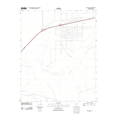
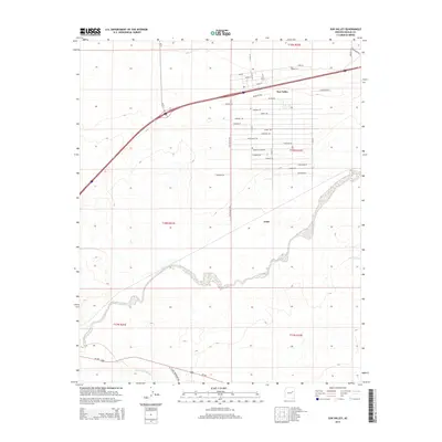
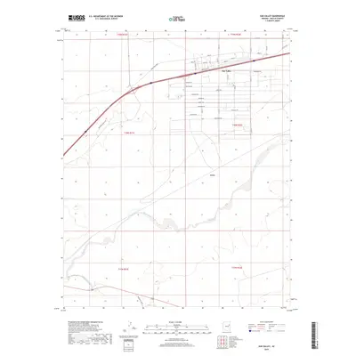
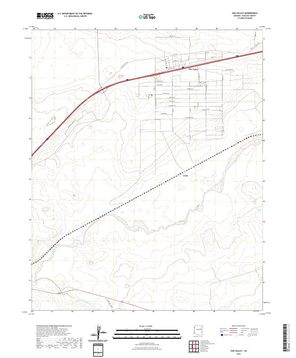
The high desert corridor of Sun Valley dominates this landscape, where a grid of residential and local streets like Quartzsite St and Rosewood Rd branch off the primary thoroughfares. The terrain is defined by its significant drainage systems, specifically the winding course of the Puerco River as it approaches its confluence with the Little Colorado River in the southwestern portion of the map. This area serves as a transition point into the unique geologic landscapes of the region, evidenced by the presence of Petrified Forest Dr. To the southeast, the small settlement of Arntz and the Puerco Tank water feature suggest a history of managing resources in a semi-arid environment. The local road network is extensive for the area, featuring named routes such as Woodruff-Ibo Rd and the evocatively named Horse Head Xing, providing a detailed look at the modern land divisions and infrastructure of Navajo County.
Find a feature on this map
32 named features on this map. Tap any name to fly to it.
Don’t see what you’re looking for? This feature index may not catch every label — zoom into the map to look around manually.
Map Details
Editions of this 2021 Sun Valley Map
This is the sole edition of this map. No revisions or reprints were ever made.
Historical Maps of Arntz Through Time
5 maps found