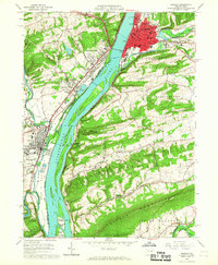
1965 Map of Sunbury
USGS Topo · Published 1967About this map
The Susquehanna River dominates this mid-1960s landscape, its wide channel punctuated by a chain of large islands including Byers Island, Cherry Island, and Kinney Island. On the eastern bank, the city of Sunbury sits at the confluence of Shamokin Creek, showcasing a dense urban grid that contrasts with the industrial development at Shamokin Dam and Hummels Wharf across the water. The map documents significant local institutions like Susquehanna University and the Selinsgrove State School and Hospital, while also marking the historical site of Fort Augusta near the riverbank.
Find a feature on this map
87 named features on this map. Tap any name to fly to it.
Don’t see what you’re looking for? This feature index may not catch every label — zoom into the map to look around manually.
Map Details
Editions of this 1965 Sunbury Map
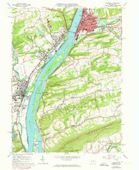
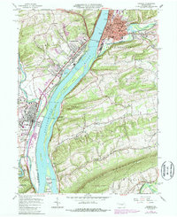
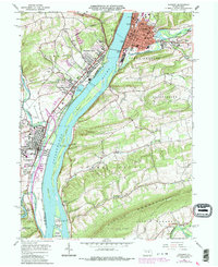
4 editions found
Other maps of this area

1892 · Lykens
USGS Topo · 1:62,500

1892 · Shamokin
USGS Topo · 1:62,500

1893 · Sunbury
USGS Topo · 1:62,500

1893 · Lykens
USGS Topo · 1:62,500

1893 · Shamokin
USGS Topo · 1:62,500

1893 · Millersburg
USGS Topo · 1:62,500

1943 · Millersburg
USGS Topo · 1:62,500

1943 · Lykens
USGS Topo · 1:62,500

1943 · Shamokin
USGS Topo · 1:62,500

1943 · Sunbury
USGS Topo · 1:62,500