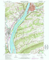
1965 Map of Sunbury
USGS Topo · Published 1987About this map
The confluence of Shamokin Creek and the Susquehanna River anchors this mid-century survey of the Central Pennsylvania river valley. The regional hub of Sunbury is depicted with its complex industrial and transportation infrastructure, featuring the Conrail rail lines and various Pumping Stations along the riverbanks. Just north of the city center lies Fort Augusta, a key frontier landmark, while the sprawling campus of Susquehanna University dominates the landscape of Selinsgrove to the south.
Find a feature on this map
69 named features on this map. Tap any name to fly to it.
Don’t see what you’re looking for? This feature index may not catch every label — zoom into the map to look around manually.
Map Details
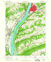
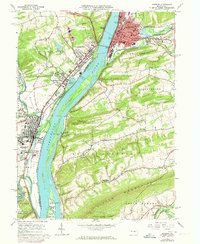
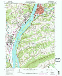
Editions of this 1965 Sunbury Map
4 editions found
Other maps of this area

1892 · Lykens
USGS Topo · 1:62,500

1892 · Shamokin
USGS Topo · 1:62,500

1893 · Sunbury
USGS Topo · 1:62,500

1893 · Lykens
USGS Topo · 1:62,500

1893 · Shamokin
USGS Topo · 1:62,500

1893 · Millersburg
USGS Topo · 1:62,500

1943 · Millersburg
USGS Topo · 1:62,500

1943 · Lykens
USGS Topo · 1:62,500

1943 · Shamokin
USGS Topo · 1:62,500

1943 · Sunbury
USGS Topo · 1:62,500