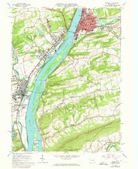
1965 Map of Sunbury
USGS Topo · Published 1973About this map
The Susquehanna River dominates this mid-1960s topographic record, bisecting the region as it flows past a series of large islands including Byers Island, Cherry Island, and Kinney Island. The city of Sunbury sits on the eastern bank at the confluence with Shamokin Creek, while Selinsgrove and Shamokin Dam anchor the western shore. This era represents a peak for the local infrastructure, with both the Penn Central and Reading railroads actively serving the riverfront industrial and transit hubs.
Find a feature on this map
79 named features on this map. Tap any name to fly to it.
Don’t see what you’re looking for? This feature index may not catch every label — zoom into the map to look around manually.
Map Details
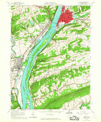
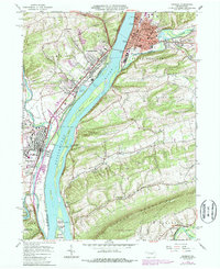
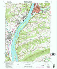
Editions of this 1965 Sunbury Map
4 editions found
Other maps of this area

1892 · Lykens
USGS Topo · 1:62,500

1892 · Shamokin
USGS Topo · 1:62,500

1893 · Sunbury
USGS Topo · 1:62,500

1893 · Lykens
USGS Topo · 1:62,500

1893 · Shamokin
USGS Topo · 1:62,500

1893 · Millersburg
USGS Topo · 1:62,500

1943 · Millersburg
USGS Topo · 1:62,500

1943 · Lykens
USGS Topo · 1:62,500

1943 · Shamokin
USGS Topo · 1:62,500

1943 · Sunbury
USGS Topo · 1:62,500