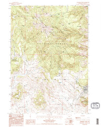
1984 Map of Sundance West
USGS Topo · Published 1995About this map
The Black Hills National Forest dominates the high-country terrain of Crook County in this mid-1980s survey, showing a landscape defined by the Black Hills Divide and a network of named springs. The settlement of Sundance sits at the eastern edge of the quadrangle, positioned between the looming Sundance Mountain and the watercourse of the North Fk. This era captures a quiet industrial presence, with numerous prospects and mineshafts scattered across Bull Hill and Smith Ridge, indicating a history of resource exploration in the region.
Find a feature on this map
60 named features on this map. Tap any name to fly to it.
Don’t see what you’re looking for? This feature index may not catch every label — zoom into the map to look around manually.
Map Details
Editions of this 1984 Sundance West Map
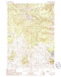
2 editions found
Other maps of this area

1898 · Sundance
USGS Topo · 1:125,000

1901 · Aladdin
USGS Topo · 1:125,000

1902 · Sundance
USGS Topo · 1:125,000

1903 · Aladdin
USGS Topo · 1:125,000

1905 · Devils Tower
USGS Topo · 1:125,000

1918 · Moorcroft
USGS Topo · 1:125,000

1954 · Gillette
USGS Topo · 1:250,000

1955 · Devils Tower
USGS Topo · 1:62,500

1955 · Gillette
USGS Topo · 1:250,000

1957 · Nefsy Divide
USGS Topo · 1:62,500