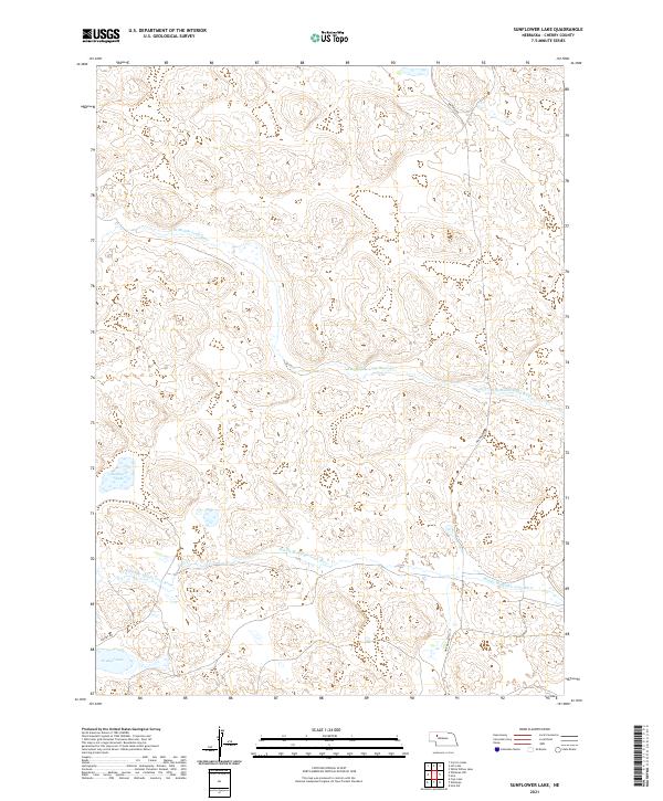
2021 Map of Sunflower Lake
USGS Topo · Published 2021About this map
Sunflower Lake and the smaller Krumpf Lake characterize this section of the Nebraska Sandhills, where water bodies collect in the low-lying depressions of the dunes. The landscape is defined by the braided path of the N Br Middle Loup River and the Middle Br Middle Loup River, which wind through the township divisions of t26n r37w, t26n r36w, t25n r37w, and t25n r36w. The hydrology of this region reflects the high water table of the Ogallala Aquifer, creating an environment where river branches and isolated lakes coexist among the sandy ridges.
Find a feature on this map
10 named features on this map. Tap any name to fly to it.
Don’t see what you’re looking for? This feature index may not catch every label — zoom into the map to look around manually.
Map Details
Editions of this 2021 Sunflower Lake Map
This is the sole edition of this map. No revisions or reprints were ever made.
Other maps of this area

1948 · Whitman
USGS Topo · 1:62,500

1949 · Steverson Lake
USGS Topo · 1:62,500

1950 · Whitman
USGS Topo · 1:62,500

1950 · Hire
USGS Topo · 1:62,500

1950 · Wolf Lake
USGS Topo · 1:62,500

1951 · Steverson Lake
USGS Topo · 1:62,500

1951 · Wolf Lake
USGS Topo · 1:62,500

1957 · Valentine
USGS Topo · 1:250,000

1959 · Valentine
USGS Topo · 1:250,000

1985 · Mullen
USGS Topo · 1:100,000