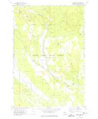
1972 Map of Sunken Lake
USGS Topo · Published 1975About this map
The Grand Sable State Forest and the northern reaches of Seney define this Upper Peninsula landscape, where a dense network of glacial lakes and shifting river channels creates a complex hydrologic map. The Fox River and its tributary, the Little Fox River, meander through the central corridor, passing notable landmarks like the Fox River Public Access and Fox River Campground. This environment is characterized by the expansive Driggs Marsh in the southwest, suggesting a wilderness area that has remained largely inaccessible to major development.
Find a feature on this map
22 named features on this map. Tap any name to fly to it.
Don’t see what you’re looking for? This feature index may not catch every label — zoom into the map to look around manually.
Map Details
Editions of this 1972 Sunken Lake Map
2 editions found
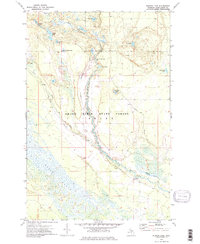
Other maps of this area

1931 · Seney SW
USGS Topo · 1:31,680

1931 · Seney NW
USGS Topo · 1:31,680

1931 · Driggs Lake NE
USGS Topo · 1:31,680

1931 · Driggs Lake NW
USGS Topo · 1:31,680

1931 · Driggs Lake SW
USGS Topo · 1:31,680

1931 · Driggs Lake SE
USGS Topo · 1:31,680

1954 · Sault Sainte Marie
USGS Topo · 1:250,000

1956 · Sault Sainte Marie
USGS Topo · 1:250,000

1957 · Sault Sainte Marie
USGS Topo · 1:250,000

1958 · Sault Sainte Marie
USGS Topo · 1:250,000