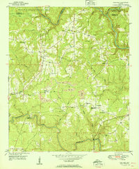
1951 Map of Sunlight
USGS Topo · Published 1951About this map
The William B Bankhead National Forest defines the northern reaches of this mid-century survey, where the Winston and Walker county lines meet amidst the rugged drainage of the Sipsey Fork. South of the forest, the landscape shifts toward a mixed economy of timber, agriculture, and industry, clearly visible through several Strip Mines operating near the settlement of Sunlight. The topography is dominated by the winding paths of Blackwater Creek and its many tributaries, including Rock Creek and Mill Creek.
Find a feature on this map
30 named features on this map. Tap any name to fly to it.
Don’t see what you’re looking for? This feature index may not catch every label — zoom into the map to look around manually.
Map Details
Editions of this 1951 Sunlight Map
2 editions found
Other maps of this area

1893 · Jasper
USGS Topo · 1:125,000

1949 · Cordova
USGS Topo · 1:24,000

1949 · Sipsey
USGS Topo · 1:24,000

1949 · Cold Springs
USGS Topo · 1:24,000

1949 · Jasper
USGS Topo · 1:24,000

1949 · Manchester
USGS Topo · 1:24,000

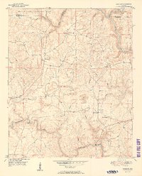
1949 · Sunlight
USGS Topo · 1:24,000

1950 · Manchester
USGS Topo · 1:24,000

1951 · Jasper
USGS Topo · 1:24,000

1951 · Cold Springs
USGS Topo · 1:24,000