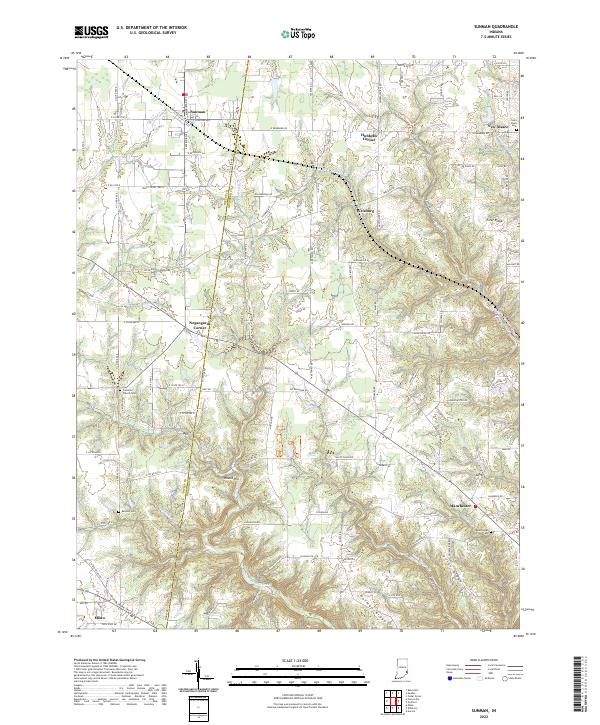
2022 Map of Sunman
USGS Topo · Published 2022About this map
Sunman anchors the northwest corner of this survey, where the CSX rail line cuts through the drainage divide between Ripley Cr and W Fork Tanners Cr. The landscape transitions from the relatively level agricultural fields near the town of Milan into the deeply incised valleys of the east, where Union Ridge and Holman Ridge rise above the confluence of N Hogan Cr and Little Hogan Cr. This territory is defined by the historic border between Ripley and Dearborn counties, a line traced by N Co Line Rd. Throughout the hills, small settlements like Weisburg and New Alsace are marked by family-named landmarks and several burying grounds, including Saint Pauls Cem and the Franklin Church Cem. The mapping of small local tributaries such as Buttermilk Run and Coyote Run illustrates the complex topography that historically directed rural road development and early Hoosier settlement patterns.
Find a feature on this map
122 named features on this map. Tap any name to fly to it.
Don’t see what you’re looking for? This feature index may not catch every label — zoom into the map to look around manually.
Map Details
Editions of this 2022 Sunman Map
This is the sole edition of this map. No revisions or reprints were ever made.