
1958 Map of Sunniland
USGS Topo · Published 1959About this map
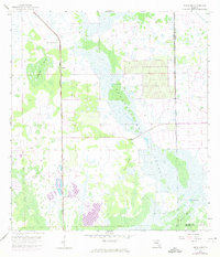
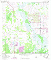
Sunniland and its surrounding wetlands occupy a landscape defined by the intersection of early industrial extraction and the Florida interior's natural drainage patterns. The settlement of Harker lies along the Atlantic Coast Line railroad, which serves as a primary transit corridor through the Sunniland Swamp. This survey documents a critical period of resource development, specifically highlighting several Oil Well sites and a Quarry near the rail line, showing how industry pushed into the edges of the Big Cypress region.
Find a feature on this map
17 named features on this map. Tap any name to fly to it.
Don’t see what you’re looking for? This feature index may not catch every label — zoom into the map to look around manually.
Map Details
Editions of this 1958 Sunniland Map
3 editions found
Other maps of this area

1956 · West Palm Beach
USGS Topo · 1:250,000

1957 · West Palm Beach
USGS Topo · 1:250,000

1958 · West Palm Beach
USGS Topo · 1:250,000

1958 · Catherine Island
USGS Topo · 1:24,000

1958 · Immokalee
USGS Topo · 1:24,000

1958 · Immokalee NE
USGS Topo · 1:24,000

1958 · Immokalee SW
USGS Topo · 1:24,000

1959 · Miles City
USGS Topo · 1:24,000
1962 · Catherine Island
USGS Topo · 1:24,000

1974 · Immokalee 4 NW
USGS Topo · 1:24,000