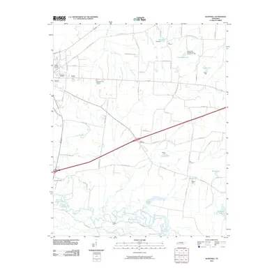
2010 Map of Sunnyhill
USGS Topo · Published 2010About this map
The Hatchie River meanders across the southern landscape of this Haywood County quadrangle, defining a complex system of wetlands and oxbows including the Horseshoe Cutoff and Powell Lakes. This 2010 topographic record captures a rural Tennessee environment where local genealogy is anchored by numerous burial grounds such as Magnolia Cemetery, Salem Cemetery, and the Knights of Pythias Cemetery. Small-scale water management is evident throughout the terrain, represented by features like the Stokely Dam and Walker Lake. Residential and agricultural patterns are marked by a network of named routes like Poplar Corner Rd and Friendship Rd, which connect scattered points of interest such as Powell Camp and the Haywood County Memorial Gardens.
Find a feature on this map
70 named features on this map. Tap any name to fly to it.
Don’t see what you’re looking for? This feature index may not catch every label — zoom into the map to look around manually.
Map Details
Editions of this 2010 Sunnyhill Map
This is the sole edition of this map. No revisions or reprints were ever made.
Other maps of this area

1950 · Sunnyhill
USGS Topo · 1:24,000

1950 · Brownsville
USGS Topo · 1:24,000

1951 · Brownsville
USGS Topo · 1:24,000

1951 · Sunnyhill
USGS Topo · 1:24,000

1952 · Dancyville
USGS Topo · 1:24,000

1952 · Stanton
USGS Topo · 1:62,500

1956 · Blytheville
USGS Topo · 1:250,000

1959 · Blytheville
USGS Topo · 1:250,000

1959 · Bells
USGS Topo · 1:24,000

1959 · Denmark
USGS Topo · 1:24,000