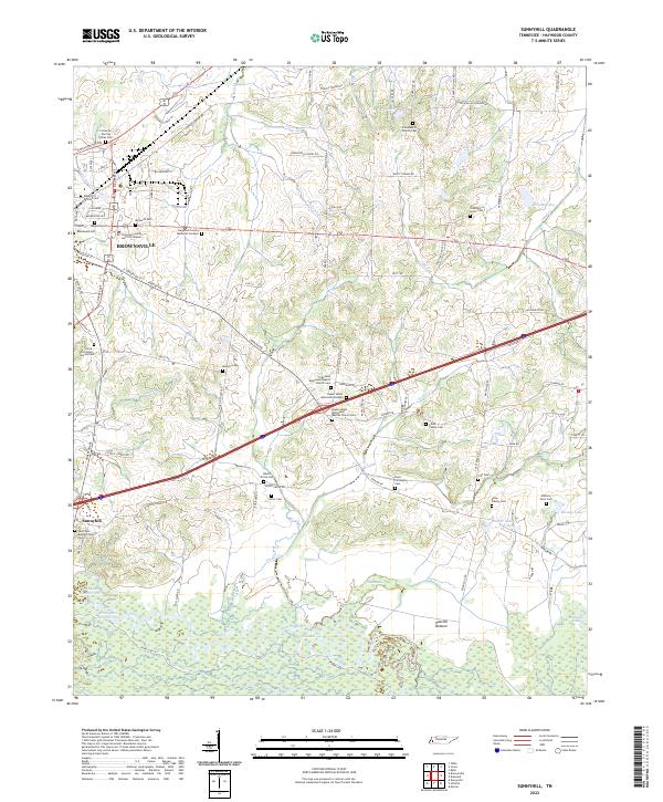
2022 Map of Sunnyhill
USGS Topo · Published 2022About this map
Brownsville serves as the primary municipal hub in this western Tennessee landscape, where the town street grid meets a countryside defined by family legacies and agricultural tradition. The southern edge of the map is dominated by the sprawling wetlands of Hatchie Bottom and the winding course of the Hatchie River, a natural boundary that has long influenced settlement patterns. This area is remarkably dense with burial grounds and places of worship, reflecting a deep-seated genealogy and community history.
Find a feature on this map
92 named features on this map. Tap any name to fly to it.
Don’t see what you’re looking for? This feature index may not catch every label — zoom into the map to look around manually.
Map Details
Editions of this 2022 Sunnyhill Map
This is the sole edition of this map. No revisions or reprints were ever made.
Other maps of this area

1950 · Sunnyhill
USGS Topo · 1:24,000

1950 · Brownsville
USGS Topo · 1:24,000

1951 · Brownsville
USGS Topo · 1:24,000

1951 · Sunnyhill
USGS Topo · 1:24,000

1952 · Dancyville
USGS Topo · 1:24,000

1952 · Stanton
USGS Topo · 1:62,500

1956 · Blytheville
USGS Topo · 1:250,000

1959 · Blytheville
USGS Topo · 1:250,000

1959 · Bells
USGS Topo · 1:24,000

1959 · Denmark
USGS Topo · 1:24,000