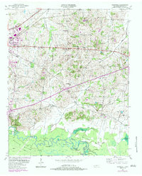
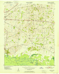
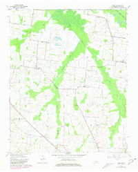
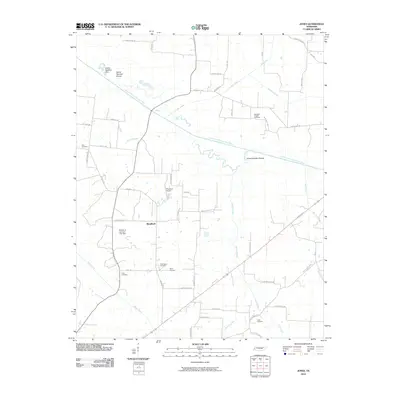
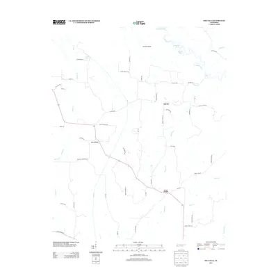
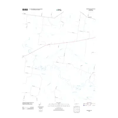
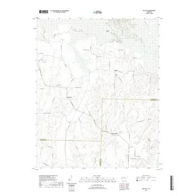
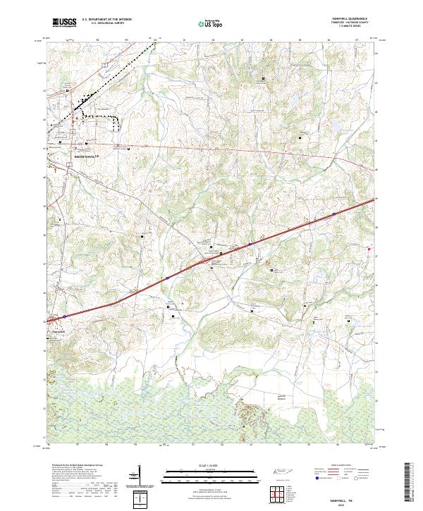
1950 Map of Sunnyhill
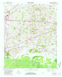
USGS Topo · Published 1984About this map
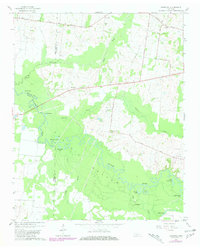
Hatchie River meanders through the expansive Hatchie Bottom at the southern edge of this West Tennessee landscape, characterized by a complex network of oxbows and backwaters like Horseshoe Cutoff and the Powell Lakes. To the north, the terrain transitions into the settled uplands surrounding Brownsville, where the Seaboard Highway serves as a primary transit corridor.
Find a feature on this map
37 named features on this map. Tap any name to fly to it.
Don’t see what you’re looking for? This feature index may not catch every label — zoom into the map to look around manually.
Map Details
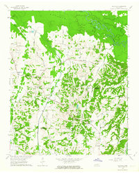
Editions of this 1950 Sunnyhill Map
2 editions found
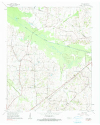
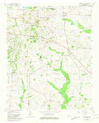
Historical Maps of Brownsville Through Time
39 maps found
1936 Waterville
Haywood County, TN
1940 Waterville
Haywood County, TN
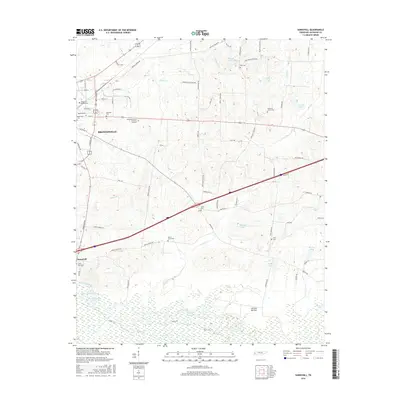
1950 Sunnyhill
Haywood County, TN
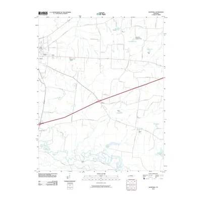
1951 Sunnyhill
Haywood County, TN
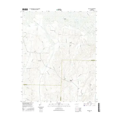
1959 Hillville
Haywood County, TN
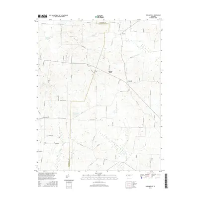
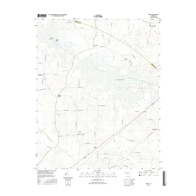
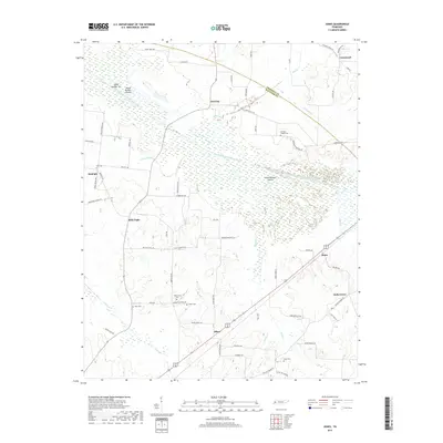
1961 Jones
Haywood County, TN
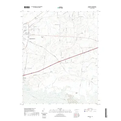
1964 Durhamville
Haywood County, TN
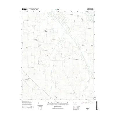
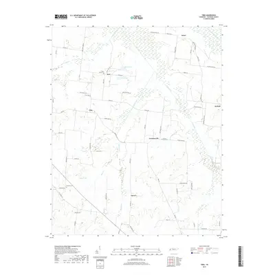
1964 Tibbs
Haywood County, TN
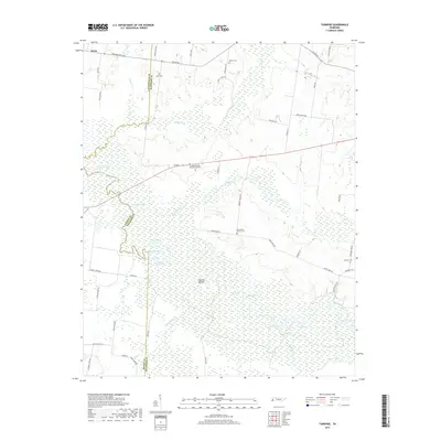
1964 Turnpike
Haywood County, TN
2010 Durhamville
Haywood County, TN
2010 Hillville
Haywood County, TN
2010 Jones
Haywood County, TN
2010 Sunnyhill
Haywood County, TN
2010 Tibbs
Haywood County, TN

2010 Turnpike
Haywood County, TN
2013 Durhamville
Haywood County, TN
2013 Hillville
Haywood County, TN
2013 Jones
Haywood County, TN
2013 Sunnyhill
Haywood County, TN
2013 Tibbs
Haywood County, TN
2013 Turnpike
Haywood County, TN
2016 Durhamville
Haywood County, TN
2016 Hillville
Haywood County, TN
2016 Jones
Haywood County, TN
2016 Sunnyhill
Haywood County, TN
2016 Tibbs
Haywood County, TN
2016 Turnpike
Haywood County, TN
2019 Durhamville
Haywood County, TN
2019 Hillville
Haywood County, TN
2019 Jones
Haywood County, TN
2019 Sunnyhill
Haywood County, TN
2019 Tibbs
Haywood County, TN
2019 Turnpike
Haywood County, TN
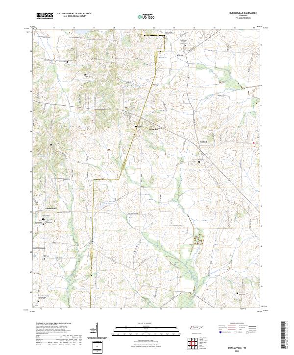
2022 Durhamville
Haywood County, TN
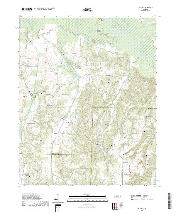
2022 Hillville
Haywood County, TN
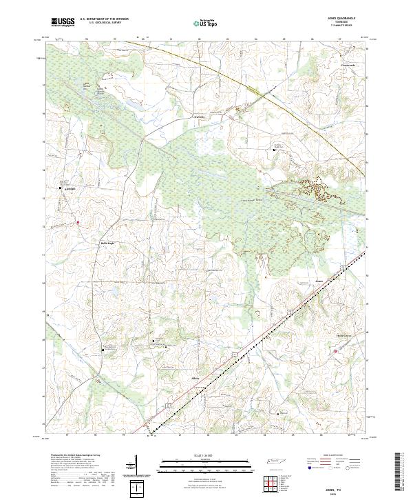
2022 Jones
Haywood County, TN
2022 Sunnyhill
Haywood County, TN

2022 Tibbs
Haywood County, TN
2022 Turnpike
Haywood County, TN