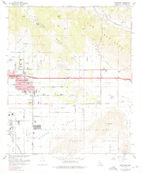
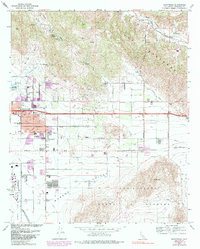
1967 Map of Sunnymead
USGS Topo · Published 1976About this map
March Air Force Base anchors the southwest corner of this Riverside County landscape, where the flatlands of the San Jacinto Valley meet the northern rises of Mt Russell. In the late 1960s, the growing community of Sunnymead shows an emerging residential grid along Ironwood Avenue and Eucalyptus Avenue, supported by local institutions like Midland Sch and Sunnymead Sch. To the east, the settlement of Moreno remains more rural, clustered near the Southern Pacific rail line and Moreno Sch.
Find a feature on this map
58 named features on this map. Tap any name to fly to it.
Don’t see what you’re looking for? This feature index may not catch every label — zoom into the map to look around manually.
Map Details
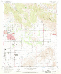
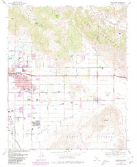
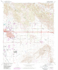
Editions of this 1967 Sunnymead Map
5 editions found
Other maps of this area

1896 · San Bernardino
USGS Topo · 1:62,500

1898 · San Bernardino
USGS Topo · 1:62,500

1899 · Redlands
USGS Topo · 1:62,500

1901 · Southern California Sheet No. 1
USGS Topo · 1:250,000

1901 · San Bernardino
USGS Topo · 1:62,500

1901 · Redlands
USGS Topo · 1:62,500

1901 · Elsinore
USGS Topo · 1:125,000

1901 · Riverside
USGS Topo · 1:62,500

1904 · Southern California Sheet No. 1
USGS Topo · 1:250,000
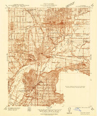
1938 · Colton
USGS Topo · 1:31,680