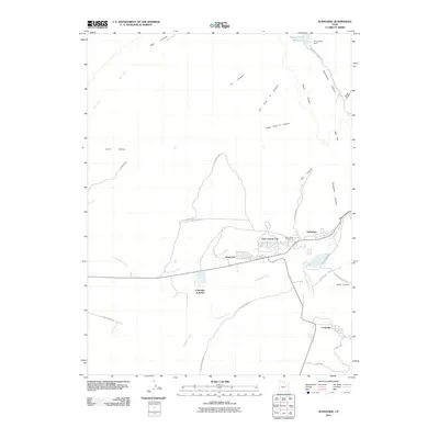
2011 Map of Sunnyside
USGS Topo · Published 2011About this map
East Carbon City and the neighboring settlements of Dragerton and Sunnyside anchor this landscape where the Book Cliffs meet the desert floor. The map captures the industrial and residential footprint of these coal-mining towns during the early 21st century, showing the tight integration of commerce and community along Grassy Trail Creek. To the south, Columbia Junction and Columbia mark the extent of the local rail and mining infrastructure, while the Valley View Cemetery serves as a central genealogical landmark for the region's families.
Find a feature on this map
34 named features on this map. Tap any name to fly to it.
Don’t see what you’re looking for? This feature index may not catch every label — zoom into the map to look around manually.
Map Details
Editions of this 2011 Sunnyside Map
This is the sole edition of this map. No revisions or reprints were ever made.
Other maps of this area

1886 · Price River
USGS Topo · 1:250,000

1896 · Price River
USGS Topo · 1:250,000

1915 · Sunnyside
USGS Topo · 1:62,500

1915 · Wellington
USGS Topo · 1:62,500

1948 · Woodside
USGS Topo · 1:62,500

1949 · Woodside
USGS Topo · 1:62,500

1950 · Woodside
USGS Topo · 1:62,500

1956 · Price
USGS Topo · 1:250,000

1960 · Price
USGS Topo · 1:250,000

1962 · Price
USGS Topo · 1:250,000