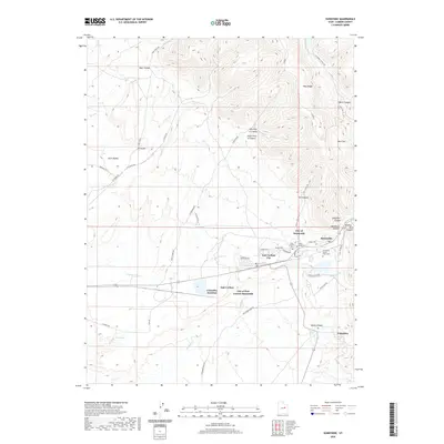
2020 Map of Sunnyside
USGS Topo · Published 2020About this map
The industrial and residential footprint of Utah's coal country is clearly defined in this modern survey of the City of Sunnyside and East Carbon City. The map documents the layout of these neighboring communities, showing the clustered residential streets of Sunnyside tucked near the mouth of Whitmore Canyon. Evidence of the region's mining and utility history is visible through features like the Sunnyside Power Plant Cem and the rail-oriented Columbia Junction to the south.
Find a feature on this map
49 named features on this map. Tap any name to fly to it.
Don’t see what you’re looking for? This feature index may not catch every label — zoom into the map to look around manually.
Map Details
Editions of this 2020 Sunnyside Map
This is the sole edition of this map. No revisions or reprints were ever made.
Other maps of this area

1886 · Price River
USGS Topo · 1:250,000

1896 · Price River
USGS Topo · 1:250,000

1915 · Sunnyside
USGS Topo · 1:62,500

1915 · Wellington
USGS Topo · 1:62,500

1948 · Woodside
USGS Topo · 1:62,500

1949 · Woodside
USGS Topo · 1:62,500

1950 · Woodside
USGS Topo · 1:62,500

1956 · Price
USGS Topo · 1:250,000

1960 · Price
USGS Topo · 1:250,000

1962 · Price
USGS Topo · 1:250,000