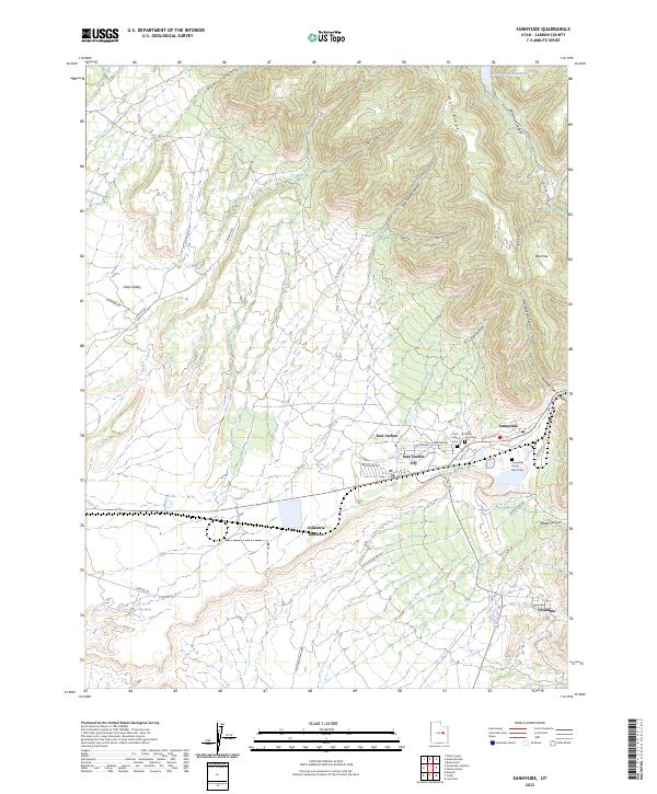
2023 Map of Sunnyside
USGS Topo · Published 2023About this map
Sunnyside and East Carbon occupy a high-elevation landscape where the industrial history of Carbon County meets the dramatic relief of the Book Cliffs. The settlement pattern here is dictated by the canyons, with residential streets in East Carbon City following the terrain near Whitmore Canyon. Several local burial sites, including the Valley View Cem, East Carbon Cem, and the Sunnyside Power Plant Cem, provide important points of interest for genealogists and local historians. This area is defined by its relation to the surrounding wilderness, with routes like C Canyon Rd and Nowhere Rd pushing into the high country. Water management is central to life here, evidenced by the Grassy Trail Reservoir tucked into the northern ridges and the drainage systems of Water Canyon and Fan Canyon that shape the local geography.
Find a feature on this map
36 named features on this map. Tap any name to fly to it.
Don’t see what you’re looking for? This feature index may not catch every label — zoom into the map to look around manually.
Map Details
Editions of this 2023 Sunnyside Map
This is the sole edition of this map. No revisions or reprints were ever made.
Other maps of this area

1886 · Price River
USGS Topo · 1:250,000

1896 · Price River
USGS Topo · 1:250,000

1915 · Sunnyside
USGS Topo · 1:62,500

1915 · Wellington
USGS Topo · 1:62,500

1948 · Woodside
USGS Topo · 1:62,500

1949 · Woodside
USGS Topo · 1:62,500

1950 · Woodside
USGS Topo · 1:62,500

1956 · Price
USGS Topo · 1:250,000

1960 · Price
USGS Topo · 1:250,000

1962 · Price
USGS Topo · 1:250,000