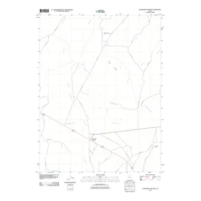
2011 Map of Sunnyside Junction
USGS Topo · Published 2011About this map
Sunnyside Junction anchors this portion of Carbon County, where high-desert drainages like Grassy Trail Creek and Dugout Creek carve through the expanse of Clark Valley. The landscape is defined by a sparse but deliberate network of corridors reaching into the canyonlands, including Junction Rd, Loco Flats Rds, and Dugout Creek Rd. These routes serve scattered landmarks of ranching and resource management, such as the Big Spring Ranch and South Reservoir Dam.
Find a feature on this map
35 named features on this map. Tap any name to fly to it.
Don’t see what you’re looking for? This feature index may not catch every label — zoom into the map to look around manually.
Map Details
Editions of this 2011 Sunnyside Junction Map
This is the sole edition of this map. No revisions or reprints were ever made.
Other maps of this area

1886 · Price River
USGS Topo · 1:250,000

1896 · Price River
USGS Topo · 1:250,000

1915 · Sunnyside
USGS Topo · 1:62,500

1915 · Wellington
USGS Topo · 1:62,500

1948 · Woodside
USGS Topo · 1:62,500

1949 · Woodside
USGS Topo · 1:62,500

1950 · Woodside
USGS Topo · 1:62,500

1956 · Price
USGS Topo · 1:250,000

1960 · Price
USGS Topo · 1:250,000

1962 · Price
USGS Topo · 1:250,000