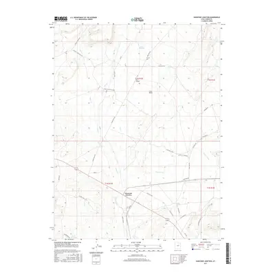
2017 Map of Sunnyside Junction
USGS Topo · Published 2017About this map
Sunnyside Junction anchors this portion of Carbon County, where the desert floor meets the rising elevations of Rock Canyon and the surrounding high country. The landscape is defined by a network of seasonal watercourses and drainages including Grassy Trail Cr, Bear Cr, and Pace Cr, which cut through the broad expanse of Clark Valley. Infrastructure for the region's energy and ranching history is evident in labels like Oil Well Draw and the Big Springs Ranch. The presence of the Kiz Cem north of the junction provides a specific point of interest for genealogists tracing early families in this arid terrain. A complex web of local roads such as Loco Flats Rds and the Clark Valley Maze Rd indicates the ongoing use of this backcountry for transit between more established settlements and remote ranching outposts.
Find a feature on this map
41 named features on this map. Tap any name to fly to it.
Don’t see what you’re looking for? This feature index may not catch every label — zoom into the map to look around manually.
Map Details
Editions of this 2017 Sunnyside Junction Map
This is the sole edition of this map. No revisions or reprints were ever made.
Other maps of this area

1886 · Price River
USGS Topo · 1:250,000

1896 · Price River
USGS Topo · 1:250,000

1915 · Sunnyside
USGS Topo · 1:62,500

1915 · Wellington
USGS Topo · 1:62,500

1948 · Woodside
USGS Topo · 1:62,500

1949 · Woodside
USGS Topo · 1:62,500

1950 · Woodside
USGS Topo · 1:62,500

1956 · Price
USGS Topo · 1:250,000

1960 · Price
USGS Topo · 1:250,000

1962 · Price
USGS Topo · 1:250,000