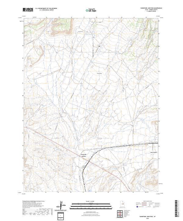
2023 Map of Sunnyside Junction
USGS Topo · Published 2023About this map
Clark Valley forms the central character of this Carbon County landscape, where wide desert expanses are crisscrossed by a network of ranching and utility roads. The small settlement of Sunnyside Junction sits at a critical nexus of these routes, including Loco Flats Rd and Grassy Trail Rd. The map reveals a history of land use tied to isolated outposts and water management, evidenced by South Reservoir and the remote Kiz Cem. To the east, the terrain transitions toward East Carbon, while the northern reaches include the winding Dugout Canyon Rd. The whimsical naming of Nowhere Rd underscores the isolation of these high-desert valleys. This 2023 edition documents the modern footprint of infrastructure, such as the Banning siding and numerous range roads, against a backdrop of traditional landmarks like Mud Spring.
Find a feature on this map
22 named features on this map. Tap any name to fly to it.
Don’t see what you’re looking for? This feature index may not catch every label — zoom into the map to look around manually.
Map Details
Editions of this 2023 Sunnyside Junction Map
This is the sole edition of this map. No revisions or reprints were ever made.
Other maps of this area

1886 · Price River
USGS Topo · 1:250,000

1896 · Price River
USGS Topo · 1:250,000

1915 · Sunnyside
USGS Topo · 1:62,500

1915 · Wellington
USGS Topo · 1:62,500

1948 · Woodside
USGS Topo · 1:62,500

1949 · Woodside
USGS Topo · 1:62,500

1950 · Woodside
USGS Topo · 1:62,500

1956 · Price
USGS Topo · 1:250,000

1960 · Price
USGS Topo · 1:250,000

1962 · Price
USGS Topo · 1:250,000