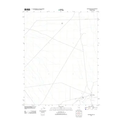
2012 Map of Sunnyside NW
USGS Topo · Published 2012About this map
Warm Springs Ranch and the riparian corridor of Hot Creek define the southeastern corner of this Nye County landscape. At this time, the area remains an essential waypoint for travelers in the Great Basin, anchored by water sources like Hot Creek Spring and Egan Spring. The presence of the Hot Creek Campground indicates the local importance of these desert oases for public use and livestock management. Most of the terrain is shaped by the ephemeral drainage of Sandy Wash, which cuts across a grid of managed forest routes. These roads, including Forest Rd 410 and Forest Rd, provide the primary access through this arid environment, connecting isolated ranching operations to the broader regional network.
Find a feature on this map
8 named features on this map. Tap any name to fly to it.
Don’t see what you’re looking for? This feature index may not catch every label — zoom into the map to look around manually.
Map Details
Editions of this 2012 Sunnyside NW Map
This is the sole edition of this map. No revisions or reprints were ever made.
Other maps of this area

1956 · Lund
USGS Topo · 1:250,000

1960 · Lund
USGS Topo · 1:250,000

1964 · Currant
USGS Topo · 1:62,500

1964 · Forest Home
USGS Topo · 1:62,500

1969 · Gap Mountain
USGS Topo · 1:24,000

1969 · Sunnyside
USGS Topo · 1:24,000

1969 · Moorman Spring SE
USGS Topo · 1:24,000

1969 · Hot Creek Butte
USGS Topo · 1:24,000

1969 · Sunnyside NW
USGS Topo · 1:24,000

1969 · Moorman Spring
USGS Topo · 1:24,000